Gidginbung
Gidginbung is a town community in the north eastern part of the Riverina and situated about 18 kilometres north west of Temora and 50 kilometres south east of West Wyalong.
| Gidginbung New South Wales | |
|---|---|
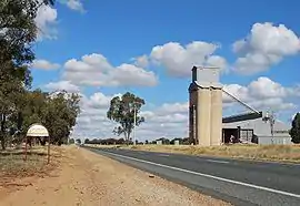 Entering Gidginbung | |
 Gidginbung | |
| Coordinates | 34°20′01″S 147°31′34″E |
| Population | 69 (SAL 2021)[1] |
| Postcode(s) | 2666 |
| Elevation | 302 m (991 ft) |
| Location |
|
| LGA(s) | Temora Shire |
| County | Bland |
| State electorate(s) | Cootamundra |
| Federal division(s) | Riverina |
Gidginbung Post Office opened on 1 October 1891 and closed in 1978.[2]
Notes and references
- Australian Bureau of Statistics (28 June 2022). "Gidginbung (Suburb and Locality)". Australian Census 2021 QuickStats. Retrieved 28 June 2022.
- Premier Postal History, Post Office List, retrieved 11 June 2009
External links
![]() Media related to Gidginbung, New South Wales at Wikimedia Commons
Media related to Gidginbung, New South Wales at Wikimedia Commons
This article is issued from Wikipedia. The text is licensed under Creative Commons - Attribution - Sharealike. Additional terms may apply for the media files.