Clendinning Provincial Park
Clendinning Provincial Park is a provincial park in British Columbia, Canada.[1] It surrounds the drainage of Clendinning Creek, which is a tributary of the Elaho River. Its name is shared by the Clendinning Range, of which Mount Clendinning is the highest summit (there is also a Clendinning Lake in the same basin).
| Clendinning Provincial Park | |
|---|---|
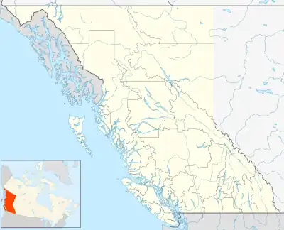 Map of British Columbia | |
| Location | Lillooet Land District, British Columbia, Canada |
| Nearest city | Pemberton, BC |
| Coordinates | 50°24′59″N 123°44′00″W |
| Area | 30,330 ha. (303.3 km²) |
| Established | December 9, 1998 |
| Governing body | BC Parks |
Established as a Canadian Protected Area on October 28, 1996, and made a provincial park by order-in-council on December 9, 1998, it occupies an area of 30,330 hectares.[2]
References
- BCGNIS entry "Clendinning Park"
- "B.C. Ministry of Environment Listing for Clendinning Provincial Park". Archived from the original on 2008-05-06. Retrieved 2008-04-13.
This article is issued from Wikipedia. The text is licensed under Creative Commons - Attribution - Sharealike. Additional terms may apply for the media files.