Finger-Tatuk Provincial Park
Finger-Tatuk Provincial Park is a provincial park in British Columbia, Canada. Established in 1999, it covers 17,151 hectares (42,380 acres) and includes Finger Lake and Tatuk Lake, as well as several smaller lakes (Bodley, Cory, Harp, Turff, and Vance) and archaeological sites once used by Dakelh (Carrier) First Nations peoples.[1][2] The lakes are known for rainbow trout and kokanee salmon, and each of the two larger lakes has a resort.[3]
| Finger-Tatuk Provincial Park | |
|---|---|
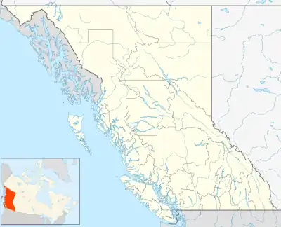 Map of British Columbia | |
| Location | Range 4 Coast Land District, British Columbia, Canada |
| Nearest city | Vanderhoof, BC |
| Coordinates | 53°30′34″N 124°13′29″W |
| Area | 17,151 ha. (171.51 km²) |
| Established | June 28, 1999 |
| Governing body | BC Parks |
References
- Finger-Tatuk Provincial Park, BC Parks (accessed 2016-03-29).
- "Finger-Tatuk Park". BC Geographical Names. Retrieved 14 September 2021.
- "Fishing Across Canada 1998", Field & Stream, April 1998, p. 71.
External links
This article is issued from Wikipedia. The text is licensed under Creative Commons - Attribution - Sharealike. Additional terms may apply for the media files.