Woodland, County Durham
Woodland is a rural village in County Durham, England.[1] It is situated 1100 feet above sea level, a few miles to the north of Barnard Castle, and west of Bishop Auckland. Woodland is a typical small rural community with most villagers finding employment in local towns and cities. Agriculture provides a living for a number of villagers, livestock rearing being the most suitable practice for such an upland area. The population of the village was 234 at the 2011 Census.[2] They are served by a primary school, St. Mary's Church, a village hall, a single shop/post office and ‘The Edge’ public house.
| Woodland | |
|---|---|
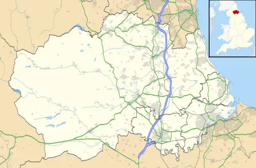 Woodland Location within County Durham | |
| Population | 234 (2011) |
| OS grid reference | NZ0726 |
| Shire county | |
| Region | |
| Country | England |
| Sovereign state | United Kingdom |
| Post town | Bishop Auckland |
| Postcode district | DL13 |
| Police | Durham |
| Fire | County Durham and Darlington |
| Ambulance | North East |
| UK Parliament | |
Woodland stands 1100 feet above sea level and commands views of the Cumbrian Mountains to the west, the moors of North Yorkshire to the south and, on a clear day, the east coast and North Sea.
References
- Ordnance Survey: Landranger map sheet 92 Barnard Castle & Richmond (Teesdale) (Map). Ordnance Survey. 2011. ISBN 9780319228982.
- "Civil Population 2011". Retrieved 2 February 2016.