West Branch Magalloway River
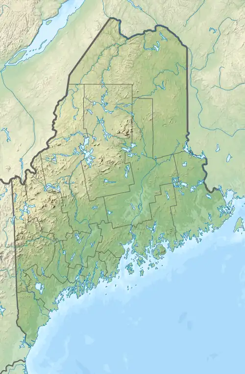
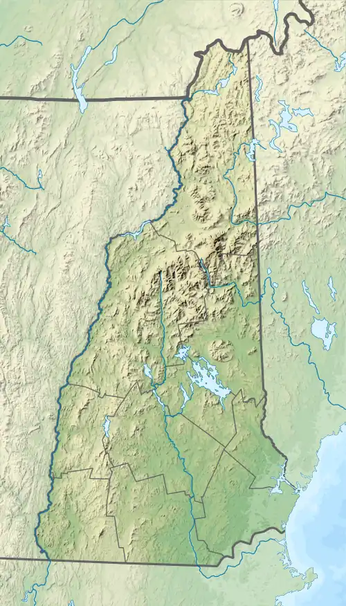
The West Branch of the Magalloway River is a 9.3-mile-long (15.0 km)[1] river in northernmost New Hampshire and northwestern Maine in the United States. It is a tributary of the Magalloway River, located in the Androscoggin River watershed of Maine and New Hampshire.
| West Branch Magalloway River | |
|---|---|
   | |
| Location | |
| Country | United States |
| States | New Hampshire Maine |
| Counties | Coos, NH Oxford, ME |
| Townships | Pittsburg, NH North Oxford, ME |
| Physical characteristics | |
| Source | Boundary Pond |
| • location | Pittsburg, NH |
| • coordinates | 45°17′1″N 71°6′8″W |
| • elevation | 238 ft (73 m) |
| Mouth | Magalloway River |
• location | North Oxford, ME |
• coordinates | 45°14′40″N 71°0′4″W |
• elevation | 1,710 ft (520 m) |
| Length | 9.3 mi (15.0 km) |
| Basin features | |
| Tributaries | |
| • left | Third East Branch Magalloway River |
| • right | Moose Bog Brook |
The river rises in the northeastern corner of Pittsburg, New Hampshire, at the outlet of Boundary Pond, whose western end just touches the Canada–United States border. The river flows in a curving route to the east, entering Maine after two miles. The river passes through a wide, wet valley known as Moose Bog, then joins the Second East Branch of the Magalloway River. The juncture of the West Branch and the Second East Branch forms the beginning of the Magalloway.[2]
References
| Bay of Fundy |
| ||||||||||||||||||||||||||||||
|---|---|---|---|---|---|---|---|---|---|---|---|---|---|---|---|---|---|---|---|---|---|---|---|---|---|---|---|---|---|---|---|
| Casco Bay |
| ||||||||||||||||||||||||||||||
| Gulf of Maine |
| ||||||||||||||||||||||||||||||
| Merrymeeting Bay |
| ||||||||||||||||||||||||||||||
| Muscongus Bay |
| ||||||||||||||||||||||||||||||
| Penobscot Bay |
| ||||||||||||||||||||||||||||||
| Saco Bay |
| ||||||||||||||||||||||||||||||
| Gulf of Maine |
| ||||||||||
|---|---|---|---|---|---|---|---|---|---|---|---|
| Long Island Sound |
| ||||||||||
This article is issued from Wikipedia. The text is licensed under Creative Commons - Attribution - Sharealike. Additional terms may apply for the media files.