Indian River (New Hampshire)
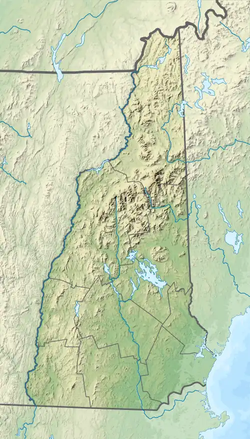
The Indian River is a 12.8-mile-long (20.6 km)[1] river in western New Hampshire in the United States. It is a tributary of the Mascoma River, which in turn flows to the Connecticut River and ultimately Long Island Sound.
| Indian River | |
|---|---|
  | |
| Location | |
| Country | United States |
| State | New Hampshire |
| County | Grafton |
| Towns | Dorchester, Canaan |
| Physical characteristics | |
| Source | |
| • location | Dorchester |
| • coordinates | 43°44′45″N 71°59′44″W |
| • elevation | 1,800 ft (550 m) |
| Mouth | Mascoma River |
• location | Canaan |
• coordinates | 43°38′54″N 72°3′45″W |
• elevation | 856 ft (261 m) |
| Length | 12.8 mi (20.6 km) |
| Basin features | |
| Tributaries | |
| • left | Orange Brook, Gulf Brook, Moose Brook |
The Indian River rises in the southern corner of the town of Dorchester and flows south in a broad valley to the west of Mount Cardigan. At the town center of Canaan, the river turns west and shortly ends at the Mascoma River.
For its south-flowing portion, the Indian River is followed by New Hampshire Route 118. From Canaan to the Mascoma River, U.S. Route 4 is close by.
See also
This article is issued from Wikipedia. The text is licensed under Creative Commons - Attribution - Sharealike. Additional terms may apply for the media files.