Nissitissit River
The Nissitissit River is a 10.5-mile-long (16.9 km)[1] river in southern New Hampshire and northern Massachusetts in the United States. It is a tributary of the Nashua River, itself a tributary of the Merrimack River, which flows to the Gulf of Maine. This river is part of the Nashua River Watershed.
| Nissitissit River | |
|---|---|
 Nissitissit River in Brookline, New Hampshire | |
   | |
| Location | |
| Country | United States |
| States | New Hampshire, Massachusetts |
| Counties | Hillsborough, NH, Middlesex, MA |
| Towns | Brookline & Hollis, NH; Pepperell, MA |
| Physical characteristics | |
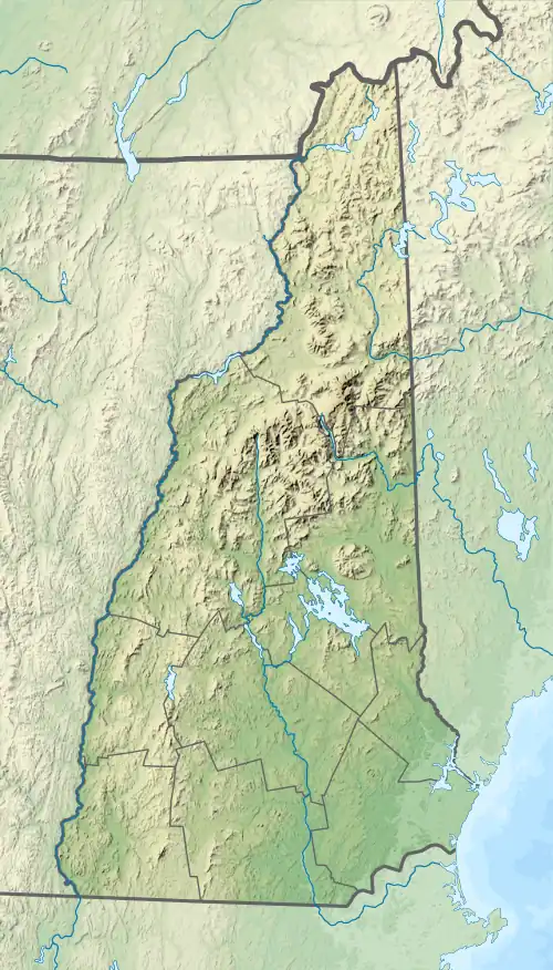
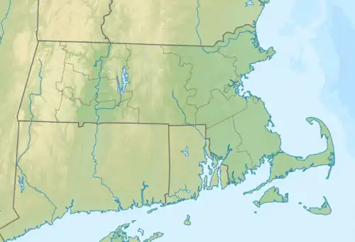
| Source | Potanipo Pond |
| • location | Brookline, NH |
| • coordinates | 42°44′10″N 71°40′20″W |
| • elevation | 264 ft (80.5 m) |
| Mouth | Nashua River |
• location | Pepperell, MA |
• coordinates | 42°40′18″N 71°33′53″W |
• elevation | 168 ft (51 m) |
| Length | 10.5 mi (16.9 km) |
| Type | Scenic |
| Designated | March 12, 2019 |
The Nissitissit River begins at the outlet of Potanipo Pond in the town of Brookline, New Hampshire. It flows southeast at a very mild gradient, crossing the southwest corner of Hollis, New Hampshire, before entering Massachusetts, where it joins the Nashua River in the town of Pepperell.
References
_map.jpg.webp)
Nissitissit River and environs
| Atlantic Ocean |
| ||||||||
|---|---|---|---|---|---|---|---|---|---|
| Gulf of Maine |
| ||||||||
| Long Island Sound |
| ||||||||
| Narragansett Bay |
| ||||||||
| Upper New York Bay |
| ||||||||
| Gulf of Maine |
| ||||||||||
|---|---|---|---|---|---|---|---|---|---|---|---|
| Long Island Sound |
| ||||||||||
This article is issued from Wikipedia. The text is licensed under Creative Commons - Attribution - Sharealike. Additional terms may apply for the media files.