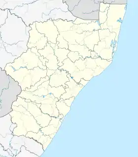
Umgababa
Umgababa is a rural community area with a large marketplace for tourists in KwaZulu-Natal, South Africa. It forms part of eThekwini.
Umgababa | |
|---|---|
 Children on the beach in Umgababa | |
 Umgababa  Umgababa | |
| Coordinates: 30.140°S 30.836°E | |
| Country | South Africa |
| Province | KwaZulu-Natal |
| Municipality | eThekwini |
| Area | |
| • Total | 2.63 km2 (1.02 sq mi) |
| Population (2001)[1] | |
| • Total | 4,059 |
| • Density | 1,500/km2 (4,000/sq mi) |
| Racial makeup (2001) | |
| • Black African | 99.0% |
| • Coloured | 0.3% |
| • White | 0.7% |
| First languages (2001) | |
| • Zulu | 96.2% |
| • Xhosa | 2.1% |
| Time zone | UTC+2 (SAST) |
| PO box | 4126 |
| Area code | 031 |
Etymology
The river valley's name uMgababa is of Zulu origin meaning the place of jealousy, its origin from a tribal feud.[2]: 332
Geography
The Umgababa River (originally "Umkababa", which means "my father's wife") enters the ocean at Umgababa. Its origin is at an elevation of 51 meters above sea level. Umgababa River is also known as Umtateni River. The name is derived from an ancient Zulu Chief Luthuli who used to live in the valley. The Chief of Umgababa is Phathisizwe Philbert Luthuli.
Economy
Culture and contemporary life
References
- "Main Place Umgababa". Census 2001.
- Illustrated guide to Southern Africa. Internet Archive. Cape Town : Published by Reader's Digest Association South Africa in association with T.V. Bulpin. 1980. ISBN 978-0-620-04650-3.
{{cite book}}: CS1 maint: others (link) - "First Draft Umgababa Coastal Management Plan" (PDF). durban.gov.za. Retrieved 19 February 2020.
- "Why durbs is the place to be this summer". iol.co.za. Retrieved 19 February 2020.
- "Tikzn Investment Opportunities 2014" (PDF). tikzn.co.za. Retrieved 19 February 2020.
This article is issued from Wikipedia. The text is licensed under Creative Commons - Attribution - Sharealike. Additional terms may apply for the media files.
.svg.png.webp)