Mayville, Durban
Mayville is an area west of central Durban, South Africa. It has a post office,[1] a police station[2] and primary schools.[3] It has a significant Indian population, who were targeted by the apartheid Group Areas Act.[4]
Mayville | |
|---|---|
 Mayville 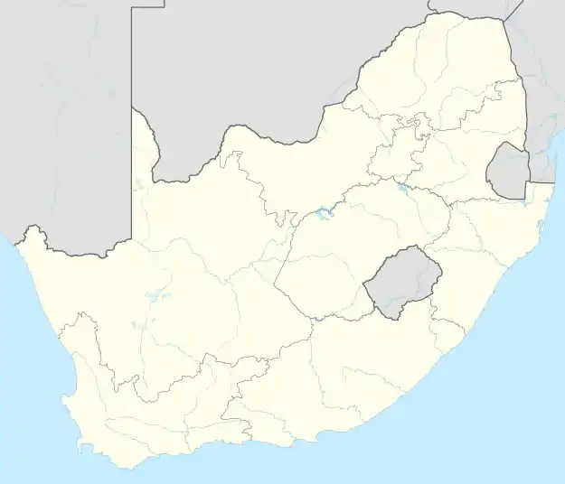 Mayville | |
| Coordinates: 29°51′S 30°59′E | |
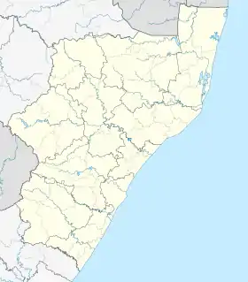
| Country | South Africa |
| Province | KwaZulu-Natal |
| Municipality | eThekwini |
| Main Place | Durban |
| Government | |
| Racial makeup (2011) | |
| First languages (2011) | |
| Time zone | UTC+2 (SAST) |
| Postal code (street) | 4091 |
| PO box | 4058 |
| Area code | 031 |
| Website | www.durban.gov.za |
References
- "South African Post Offices Contact Details - Contact Details of South African Post Offices Directory". www.blaauwberg.net.
- "Services | SAPS (South African Police Service)". www.saps.gov.za.
- "The 10 Best Schools in Mayville, Durban". Snupit.
- "Indian Community | South African History Online". www.sahistory.org.za.
.svg.png.webp)
This article is issued from Wikipedia. The text is licensed under Creative Commons - Attribution - Sharealike. Additional terms may apply for the media files.