Sydenham, Durban
Sydenham is a suburb west of central Durban, South Africa.
Sydenham, Durban | |
|---|---|
 Sydenham, Durban 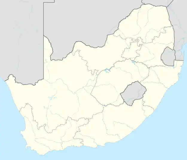 Sydenham, Durban | |
| Coordinates: 29.8283°S 30.9944°E | |
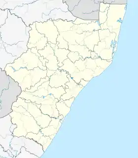
| Country | South Africa |
| Province | KwaZulu-Natal |
| Municipality | eThekwini |
| Main Place | Durban |
| Area | |
| • Total | 1.78 km2 (0.69 sq mi) |
| Population (2001)[1] | |
| • Total | 17,835 |
| • Density | 10,000/km2 (26,000/sq mi) |
| Racial makeup (2001) | |
| • Black African | 12.7% |
| • Coloured | 7.3% |
| • Indian/Asian | 79.6% |
| • White | 0.4% |
| First languages (2001) | |
| • Zulu | 9.3% |
| • English | 85.4% |
| • Xhosa | 2.2% |
| • Afrikaans | 0.4% |
| • Other | 2.7% |
| Time zone | UTC+2 (SAST) |
| Postal code (street) | 4091 |
| PO box | n/a |
| Area code | 031 |
Sydenham added to Durban Municipality
Although the municipal area of Durban was quite sizeable, and until 1932 comprised some 12 square miles (31 km2), a number of suburbs developed about its perimeter, and in 1921 village management boards were established at South Coast Junction, Umhlatuzana, Mayville, Sydenham and Greenwood Park.[2]
References
- "Sub Place Sydenham". Census 2001.
- "Durban an Overview | South African History Online". www.sahistory.org.za. Archived from the original on 25 February 2013.
.svg.png.webp)
This article is issued from Wikipedia. The text is licensed under Creative Commons - Attribution - Sharealike. Additional terms may apply for the media files.