Tubbs Island
Tubbs Island is an island in San Pablo Bay (an embayment of San Francisco Bay).[2][3][4][5][6][7][8][9][10][11][12][13][14][15][16][17] It is in Sonoma County, California, and parts of it are managed as part of the Napa-Sonoma Marshes Wildlife Area.[18][19] Its coordinates are 38°08′59″N 122°25′27″W[1], and the United States Geological Survey measured its elevation as 0 ft (0 m) in 1981.[1] It, long with Island No. 1, Island No. 2 and Green Island, are labeled on a 1902 USGS map of the area.[20]
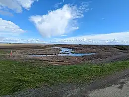
 Tubbs Island in March 2023. | |
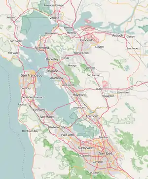
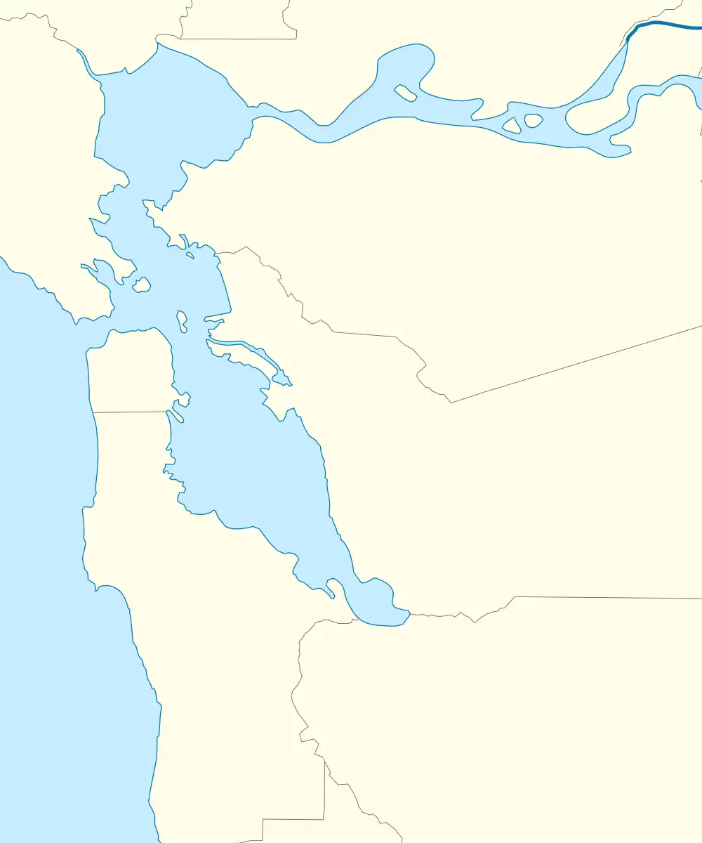
 Tubbs Island  Tubbs Island  Tubbs Island | |
| Geography | |
|---|---|
| Location | Northern California |
| Coordinates | 38°08′59″N 122°25′27″W[1] |
| Adjacent to | San Pablo Bay |
| Highest elevation | 0 ft (0 m)[1] |
| Administration | |
United States | |
| State | |
| County | Sonoma |

Tubbs Island as it appears on a 1951 USGS topographic map.

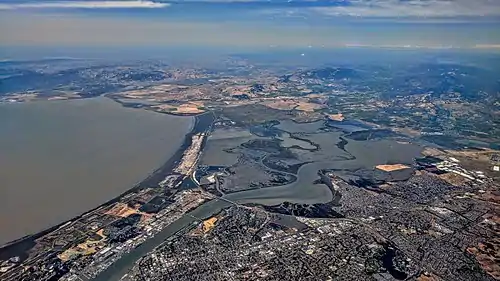
USGS aerial imagery of Tubbs Island from 2021
References
- U.S. Geological Survey Geographic Names Information System: Tubbs Island
- California State Automobile Association (1999). San Francisco Bay Region (Map). 1:190,000. American Automobile Association.
- "On the Hunt". Oakland Tribune. Oakland, California. September 26, 1883. p. 3.
- "An Island Farm. One of the Curious Places in the County of Sonoma". The San Francisco Call. San Francisco, California. June 15, 1890. p. 9.
- "In the Matter of TUBBS ISLAND RECLAMATION DISTRICT". Santa Rosa Republican. Santa Rosa, California. May 6, 1922. p. 7.
- "Delinquent Tax List". Santa Rosa Republican. Santa Rosa, California. July 22, 1933. p. 9.
- "Bill Asks County Site For US Ammunition Depot". The Press Democrat. Santa Rosa, California. June 14, 1957. p. 1.
- "Petaluma, Sonoma Oppose Water District". The Press Democrat. Santa Rosa, California. November 6, 1963. p. 9.
- "Ship Collision Emphasizes Hazards Of Naval Weapons Station". Contra Costa Times. Walnut Creek, California. November 26, 1967. p. 1.
- "Audubon Field Trip To Tubbs Island Preserve". Petaluma Argus-Courier. Petaluma, California. November 19, 1976. p. 6.
- "Tubbs Island To Be Site Of Waste Experiment For Crops". Petaluma Argus-Courier. Petaluma, California. July 29, 1977. p. 3.
- "Flora Enthusiasts Plan Two Visits To Reserves". Independent Coast Observer. Gualala, California. August 18, 1978. p. 4.
- "Sludge". The Press Democrat. Santa Rosa, California. April 27, 1984. p. 24.
- "Community calendar". The Napa Valley Register. Napa, California. November 7, 1986. p. 21.
- "Success secret". The Press Democrat. Santa Rosa, California. September 28, 1987. p. 27.
- "Marsh offers hunting, hiking, and boating opportunities". The Napa Valley Register. Napa, California. October 31, 2002. p. 17.
- "To summit or not to summit". Sonoma West Times and News. Sebastopol, California. October 7, 2004. p. 17.
- "Directional Map Napa-Sonoma Marshes Wildlife Area". California Department of Fish and Wildlife, Bay Delta Region. May 2019. Archived from the original on April 23, 2020. Retrieved February 26, 2021.
- URS Corporation (May 2019). "Napa-Sonoma Marshes Wildlife Area Land Management Plan". California Department of Fish and Game. Retrieved February 26, 2021.
- Goode, R.U.; Fletcher, L.C. (1902), Topography, State of California: Woodward Island Quadrangle, United States Geological Survey
This article is issued from Wikipedia. The text is licensed under Creative Commons - Attribution - Sharealike. Additional terms may apply for the media files.


