Simms Island
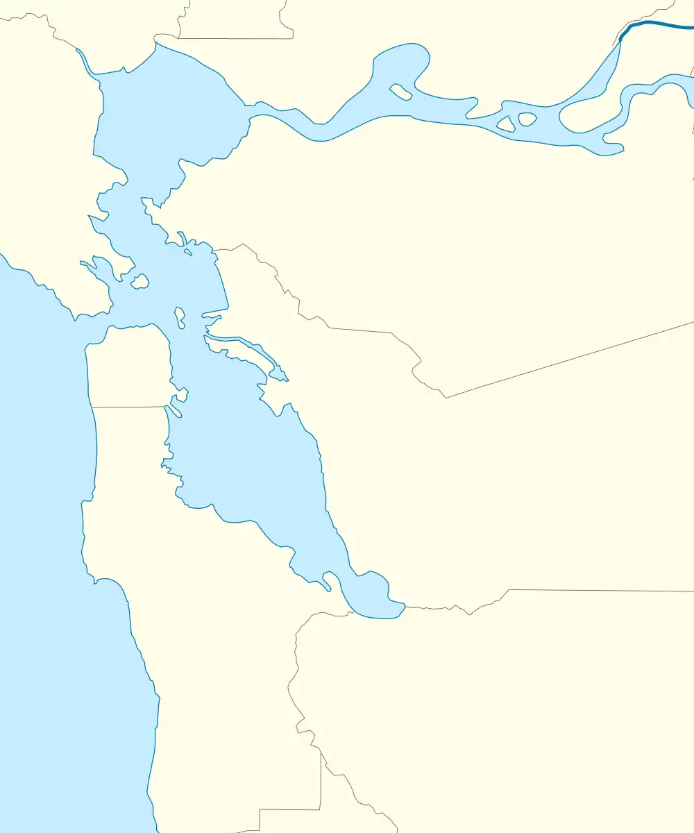
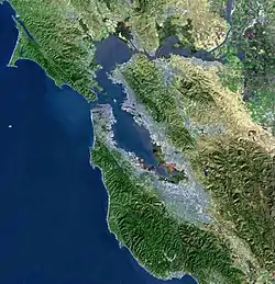
Simms Island is a former marsh island in San Francisco Bay.[2] It is in Marin County, California; Its coordinates are 37°57′33″N 122°30′18″W[1], and the United States Geological Survey (USGS) gave its elevation as 13 ft (4.0 m) in 1981.[1] It appears as an island on a USGS map in 1897;[3] it is labeled in a 1954 map, but fully connected to the mainland.[4]
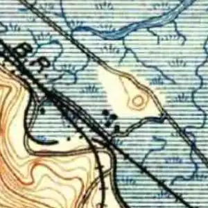 USGS survey map from 1897.
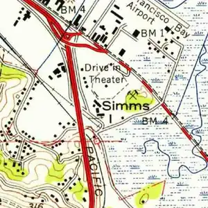 USGS survey map from 1954.
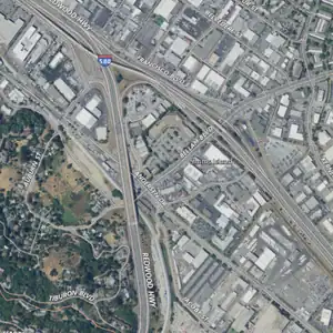 USGS aerial imagery from 2021.
 The former location of Simms Island in March 2023. | |
 Simms Island 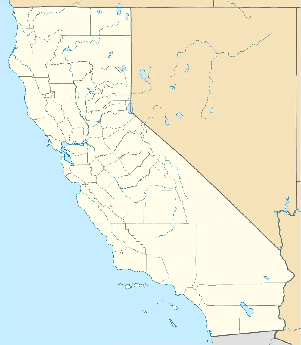 Simms Island  Simms Island | |
| Geography | |
|---|---|
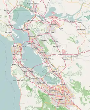
| Location | Northern California |
| Coordinates | 37°57′33″N 122°30′18″W[1] |
| Adjacent to | San Francisco Bay |
| Highest elevation | 13 ft (4 m)[1] |
| Administration | |
United States | |
| State | |
| County | Marin |
References
- U.S. Geological Survey Geographic Names Information System: Simms Island
- "Neighborhood News". The Petaluma Courier. Petaluma, California. 1890-12-17. p. 2.
- Gannett, Henry; Goode, R.U.; Marshall, R.B. (1896). "California: Tamalpais Sheet". United States Geological Survey. Retrieved 18 September 2021.
- United States Geological Survey (1954). "San Rafael Quadrangle, California" (Map). United States Department of the Interior Geological Survey. 1:24000.
Map: Islands of the San Francisco Bay Area | |
|---|---|
(islands of Suisun Bay and the Sacramento–San Joaquin River delta) |
This article is issued from Wikipedia. The text is licensed under Creative Commons - Attribution - Sharealike. Additional terms may apply for the media files.