Lamerd
Lamerd (Persian: لامرد, also Romanized as Lāmerd and Lāmard, also known as Tarakma)[3] is a city in the Central District of Lamerd County, Fars province, Iran, serving as both capital of the district and of the county. The city's main industries are based on its rich natural gas sources. Tabnak, Homa, Shanol, Varavi are important local gas zones. Lamerd Airport serves the city.
Lamerd
Persian: لامرد | |
|---|---|
City | |
 | |
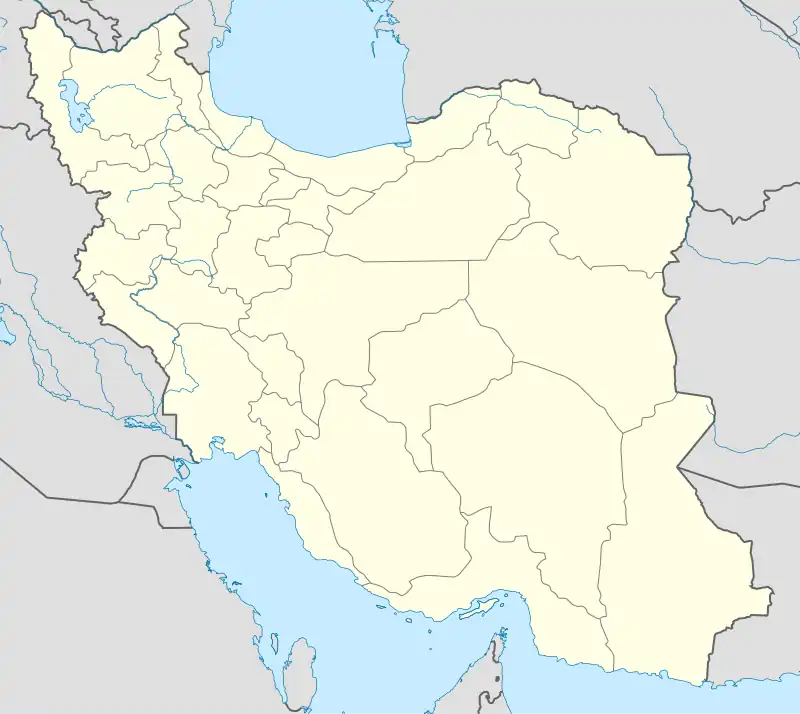 Lamerd | |
| Coordinates: 27°20′01″N 53°11′19″E[1] | |
| Country | |
| Province | Fars |
| County | Lamerd |
| District | Central |
| Elevation | 670 m (2,200 ft) |
| Population (2016)[2] | |
| • Total | 29,380 |
| Time zone | UTC+3:30 (IRST) |
At the 2006 National Census, its population was 21,365 in 4,921 households.[4] The following census in 2011 counted 25,131 people in 6,572 households.[5] The latest census in 2016 showed a population of 29,380 people in 8,529 households.[2]
Industry
Aluminum and steel plants have been under construction since 2011 and a magnesium oxide plant has been under construction in the region since 2020. Lamerd International Airport opened in 1964, with flights to Tehran, Shiraz, Lar, Lavan and international flights to Kuwait, Qatar and United Arab Emirates.
Climate
| Climate data for Lamerd | |||||||||||||
|---|---|---|---|---|---|---|---|---|---|---|---|---|---|
| Month | Jan | Feb | Mar | Apr | May | Jun | Jul | Aug | Sep | Oct | Nov | Dec | Year |
| Average high °C (°F) | 19.8 (67.6) |
20.4 (68.7) |
24.5 (76.1) |
27.7 (81.9) |
32.8 (91.0) |
35.8 (96.4) |
37.4 (99.3) |
37.1 (98.8) |
35.6 (96.1) |
32.9 (91.2) |
27.3 (81.1) |
22.3 (72.1) |
29.5 (85.0) |
| Daily mean °C (°F) | 14.6 (58.3) |
15.4 (59.7) |
18.9 (66.0) |
22.0 (71.6) |
26.5 (79.7) |
29.7 (85.5) |
32.0 (89.6) |
31.8 (89.2) |
29.8 (85.6) |
26.9 (80.4) |
21.4 (70.5) |
17.0 (62.6) |
23.8 (74.9) |
| Average low °C (°F) | 9.4 (48.9) |
10.4 (50.7) |
13.3 (55.9) |
16.3 (61.3) |
20.3 (68.5) |
23.6 (74.5) |
26.6 (79.9) |
26.5 (79.7) |
24.1 (75.4) |
21.0 (69.8) |
15.6 (60.1) |
11.7 (53.1) |
18.2 (64.8) |
| Average precipitation mm (inches) | 39 (1.5) |
43 (1.7) |
15 (0.6) |
10 (0.4) |
0 (0) |
0 (0) |
0 (0) |
0 (0) |
0 (0) |
2 (0.1) |
13 (0.5) |
36 (1.4) |
158 (6.2) |
| Source: Climate-data.org | |||||||||||||
References
- OpenStreetMap contributors (24 September 2023). "Lamerd, Lamerd County" (Map). OpenStreetMap. Retrieved 24 September 2023.
- "Census of the Islamic Republic of Iran, 1395 (2016)". AMAR (in Persian). The Statistical Center of Iran. p. 07. Archived from the original (Excel) on 6 April 2022. Retrieved 19 December 2022.
- Lamerd can be found at GEOnet Names Server, at this link, by opening the Advanced Search box, entering "-3072848" in the "Unique Feature Id" form, and clicking on "Search Database".
- "Census of the Islamic Republic of Iran, 1385 (2006)". AMAR (in Persian). The Statistical Center of Iran. p. 07. Archived from the original (Excel) on 20 September 2011. Retrieved 25 September 2022.
- "Census of the Islamic Republic of Iran, 1390 (2011)" (Excel). Iran Data Portal (in Persian). The Statistical Center of Iran. p. 07. Retrieved 19 December 2022.
External links

| Capital | |||||||||||||||||||||||||||||||||||||||||
|---|---|---|---|---|---|---|---|---|---|---|---|---|---|---|---|---|---|---|---|---|---|---|---|---|---|---|---|---|---|---|---|---|---|---|---|---|---|---|---|---|---|
| Districts |
| ||||||||||||||||||||||||||||||||||||||||