Jeremoabo
Jeremoabo is a municipality in the state of Bahia in the North-East region of Brazil.[4][5][6][7]
Jeremoabo | |
|---|---|
Municipality | |
 Flag  Seal | |
| Nickname: Jeré | |
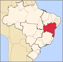
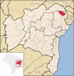 Location in Bahia | |
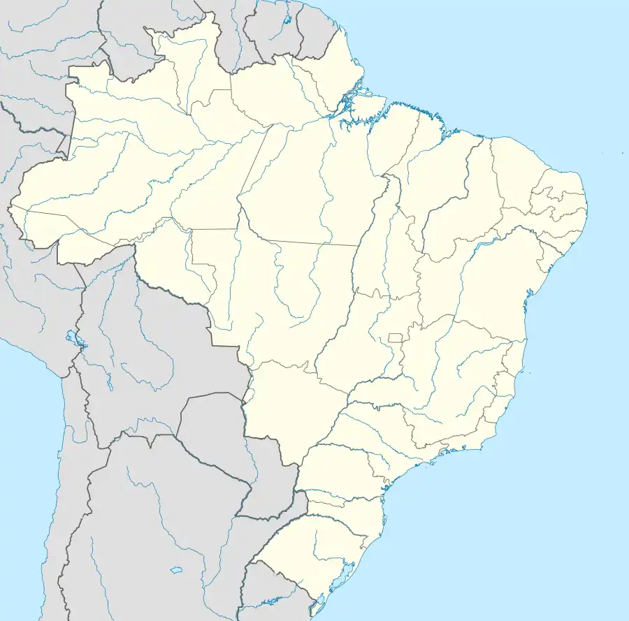 Jeremoabo Location in Brazil | |
| Coordinates: 10°4′1″S 38°21′00″W | |
| Country | |
| Region | Nordeste |
| State | Bahia |
| Mesoregion | Northeast of Bahia |
| Microregion | Jeremoabo |
| Settled | ~1625 |
| Founded (as village) | 25 October 1831 |
| Incorporated (municipality) | 6 July 1925 |
| Government | |
| • Mayor | Anabel de Sá Lima |
| Area | |
| • Total | 1,797.795 sq mi (4,656.267 km2) |
| Elevation | 892 ft (272 m) |
| Population (2020 [2]) | |
| • Total | 40,651 |
| Time zone | UTC−3 ( BRT) |
| CEP postal code | 48540-000 |
| Area code | 75 |
| HDI (2010) [3] | 0,547 |
| Website | jeremoabo.ba.gov.br |
The municipality contains part of the Raso da Catarina ecoregion.[8] The municipality contains the 7,473 hectares (18,470 acres) Cocorobó Area of Relevant Ecological Interest, created in 1984.[9] The municipality contains part of the 104,842 hectares (259,070 acres) Raso da Catarina Ecological Station, created in 2001.[10] To the south of the ecological station it contains the 67,234 hectares (166,140 acres) Serra Branca / Raso da Catarina Environmental Protection Area, also created in 2001.[11]
Notable people
- Jemerson (footballer)
See also
References
- "Área territorial oficial" [Official Territorial Area] (in Portuguese). Brazilian Institute of Geography and Statistics (IBGE). 2002-10-10. Retrieved 2014-12-03.
- IBGE 2020
- "Ranking decrescente do IDH-M dos municípios do Brasil" [Ranking of HDI-M of Brazilian Municipalities] (PDF) (in Portuguese). United Nations Development Programme (UNDP). 2010. Retrieved 2013-08-03.
- "Divisão Territorial do Brasil" (in Portuguese). Divisão Territorial do Brasil e Limites Territoriais, Instituto Brasileiro de Geografia e Estatística (IBGE). July 1, 2008. Archived from the original on June 14, 2020. Retrieved December 17, 2009.
- "Estimativas da população para 1º de julho de 2009" (PDF) (in Portuguese). Estimativas de População, Instituto Brasileiro de Geografia e Estatística (IBGE). August 14, 2009. Retrieved December 17, 2009.
- "Ranking decrescente do IDH-M dos municípios do Brasil" (in Portuguese). Atlas do Desenvolvimento Humano, Programa das Nações Unidas para o Desenvolvimento (PNUD). 2000. Archived from the original on October 3, 2009. Retrieved December 17, 2009.
- "Produto Interno Bruto dos Municípios 2002-2005" (PDF) (in Portuguese). Instituto Brasileiro de Geografia e Estatística (IBGE). December 19, 2007. Archived from the original (PDF) on October 2, 2008. Retrieved December 17, 2009.
- "Lampião e Conselheiro no Raso da Catarina", Bahia! (in Portuguese), archived from the original on 2016-10-23, retrieved 2016-11-03
- Área de Relevante Interesse Ecológico Cocorobó (in Portuguese), MMA: Ministério do Meio Ambiente, archived from the original on 2013-11-16, retrieved 2016-11-02
- Unidade de Conservação: Estação Ecológica Raso da Catarina (in Portuguese), MMA: Ministério do Meio Ambiente, retrieved 2016-04-19
- APA Serra Branca / Raso da Catarina (in Portuguese), INEMA: Instituto do Meio Ambiente e Recursos Hídricos (BA), archived from the original on 2021-05-03, retrieved 2016-11-03
This article is issued from Wikipedia. The text is licensed under Creative Commons - Attribution - Sharealike. Additional terms may apply for the media files.