Cotegipe
Cotegipe (former Campo Largo) is a microregion and a municipality in the Brazilian state of Bahia in the north-east region of Brazil. Part of the Extremo Oeste Baiano mesoregion, the town was founded in 1820 and had a population of 13,769 as of the 2020.[1]
Cotegipe | |
|---|---|
Town | |
 Flag | |
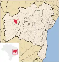 Cotegipe as shown within the map of Bahia | |
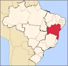
 Cotegipe Cotegipe as shown within the map of Brazil | |
| Coordinates: 12°01′40″S 44°15′28″W | |
| Country | Brazil |
| State | Bahia |
| Mesoregion | Extremo Oeste Bahiano[1] |
| Microregion | Cotegipe[1] |
| Settled | as Campo Largo in 1820 |
| Area | |
| • Total | 4,018.594 km2 (1,551.588 sq mi) |
| Population (2020 [3]) | |
| • Total | 13,769 |
| • Density | 3.4/km2 (8.9/sq mi) |
| Demonym | Cotegipano |
| GDP | |
| • Year | 2008 estimate[4] |
| • Total | R$ 47,592.895[4] |
| • Per capita | R$ 3,368.93[4] |
| HDI | |
| • Year | 2000[5] |
| • Category | 0.607[5] |
| Time zone | UTC−3 (BRT) |
| ISO 3166 code | BR-BA |
Municipalities in the Cotegipe microregion
References
- "Divisão Territorial do Brasil". Divisão Territorial do Brasil e Limites Territoriais (in Portuguese). Instituto Brasileiro de Geografia e Estatística (IBGE). 1 July 2008. Archived from the original on June 14, 2020.
- IBGE (10 October 2002). "Área territorial oficial" (in Portuguese). Resolução da Presidência do IBGE de n° 5 (R.PR-5/02).
- IBGE 2020
- "Produto Interno Bruto dos Municípios 2004-2008" (in Portuguese). Instituto Brasileiro de Geografia e Estatística.
- "Ranking decrescente do IDH-M dos municípios do Brasil". Atlas do Desenvolvimento Humano (in Portuguese). Programa das Nações Unidas para o Desenvolvimento (PNUD). 2000. Archived from the original on 2009-10-03.
This article is issued from Wikipedia. The text is licensed under Creative Commons - Attribution - Sharealike. Additional terms may apply for the media files.