Damurhuda Upazila
Damurhuda (Bengali: দামুড়হুদা) is an upazila of Chuadanga District[1] in the Division of Khulna, Bangladesh. Damurhuda Thana was turned into an upazila in 1983.
Damurhuda
দামুড়হুদা | |
|---|---|
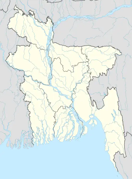 Damurhuda Location in Bangladesh | |
| Coordinates: 23°37′N 88°47′E | |
| Country | |
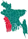
| Division | Khulna Division |
| District | Chuadanga District |
| Area | |
| • Total | 308.11 km2 (118.96 sq mi) |
| Population (2011) | |
| • Total | 289,577 |
| • Density | 940/km2 (2,400/sq mi) |
| Time zone | UTC+6 (BST) |
| Website | damurhuda |
Geography
Damurhuda is located at 23.6167°N 88.7833°E. It has 37,279 households and a total area of 308.11 km2 (118.96 sq mi).
Dumurhuda Upazila is bounded by Meherpur Sadar Upazila of Meherpur District and Alamdanga Upazila under Chuadanga District, on the north; Chuadanga Sadar Upazila on the east; Krishnaganj CD Block of Nadia District, West Bengal, India, on the south; and Chapra CD Block under Nadia district on the west.[2][3]
Demographics
According to 2011 Bangladesh census, Damurhuda had a population of 289,577. Males constituted 50.10% of the population, while females made up 49.84%. Muslims formed 75.81% of the population, Christians 23.48% Hindus 2.58%, and others 0.116%. Damurhuda had a literacy rate of 44.15% for the population 7 years and above.[4]
According to the 1991 Bangladesh census, Damurhuda had a population of 213,291. Males constituted 51.69% of the population, and females formed 48.31%. The population aged 18 or over was 107,245. Damurhuda had an average literacy rate of 25.6% (7+ years), compared to the national average of 32.4%.[5]
Administration
Damurhuda Upazila is divided into Darshana Municipality and seven union parishads: Damurhuda, Hawli, Juranpur, Karpashdanga, Kurulgachhi, Natipota, and Perkrishnopur Madna. The union parishads are subdivided into 78 mauzas and 102 villages.[6]
Darshana Municipality is subdivided into 9 wards and 21 mahallas.[6]
References
- Iman Siddiqi (2012), "Damurhuda Upazila", in Sirajul Islam; Ahmed A. Jamal (eds.), Banglapedia: National Encyclopedia of Bangladesh (Second ed.), Asiatic Society of Bangladesh
- "Damurhuda Upazila". Banglapedia. Retrieved 15 November 2018.
- "Tehsil Map of Nadia". CD Block/ Tehsil. Maps of India. Retrieved 15 November 2018.
- "Bangladesh Population and Housing Census 2011: Zila Report – Chuadanga" (PDF). Table P01 : Household and Population by Sex and Residence, Table P05 : Population by Religion, Age group and Residence, Table P09 : Literacy of Population 7 Years & Above by Religion, Sex and Residence. Bangladesh Bureau of Statistics (BBS), Ministry of Planning, Government of the People’s Republic of Bangladesh. Retrieved 9 December 2018.
- "Population Census Wing, BBS". Archived from the original on 2005-03-27. Retrieved November 10, 2006.
- "District Statistics 2011: Chuadanga" (PDF). Bangladesh Bureau of Statistics. Archived from the original (PDF) on 13 November 2014. Retrieved 14 July 2014.
| Upazilas | ||
|---|---|---|
| Constituencies | ||
| Inhabited areas | ||
| Transport | ||
| Education |
| |