Barrclashcame
Barrclashcame (from Irish: Barr Chlais Céim, meaning 'top of Clais Céim')[1] is a mountain with a height of 772 metres (2,533 ft) in the Sheeffry Hills of County Mayo, Ireland.
| Barrclashcame | |
|---|---|
| Barr Chlais Céim | |
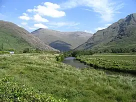 Barrclashcame (back left) from the Bundorragha River to the south | |
| Highest point | |
| Elevation | 772 m (2,533 ft)[1][2] |
| Prominence | 707 m (2,320 ft)[1] |
| Listing | P600, Hewitt, Marilyn |
| Coordinates | 53°39′46″N 9°44′31″W |
| Naming | |
| English translation | top of Clais Céim |
| Language of name | Irish |
| Geography | |
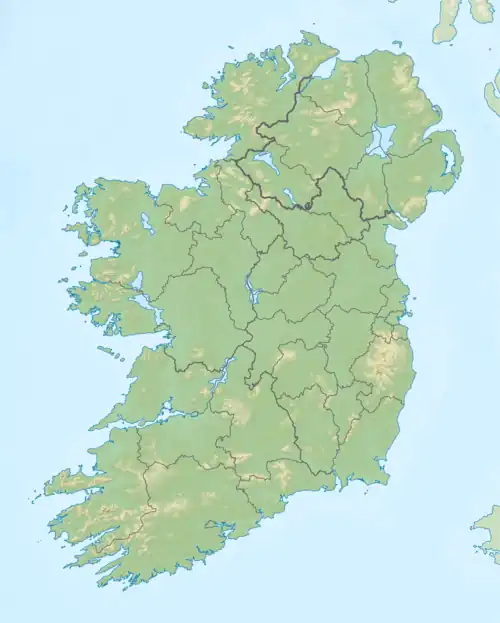 Barrclashcame Location in Ireland | |
| Location | County Mayo, Republic of Ireland |
| Parent range | Sheeffry Hills |
| OSI/OSNI grid | L849695 |
Geography
.jpg.webp)
Barrclashcame summit cairn
The mountain is the highest peak of the Sheeffry Hills and stands in the townland of Clashcame, from which it is named.[1]
A short distance to the northwest is the peak called Barrclashcame Northwest or Storikeennageer (580 m)[3] and to the northeast is the peak of Tievummera (762 m).[4]
Barrclashcame overlooks Doo Lough to the southwest and Glenummera to the south, which separate it from the Mweelrea and Ben Gorm mountains.
See also
References
- "Barrclashcame". MountainViews.ie. Retrieved 28 January 2012.
- "Clashcame". Peakbagger.com. Retrieved 28 January 2012.
- MountainViews.ie - Barrclashcame Northwest
- MountainViews.ie - Tievummera
| British Isles |  | |
|---|---|---|
| Scotland | ||
| Outside Scotland | ||
| England | ||
| Ireland | ||
| County tops | ||
| Northern Highlands (20) |  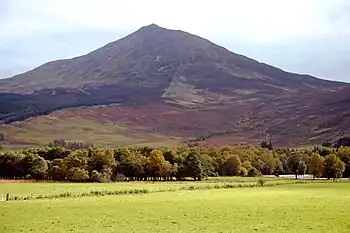 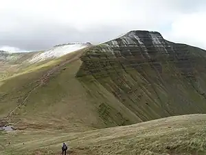 | |
|---|---|---|
| Western Highlands (20) | ||
| Central and Eastern Highlands (13) | ||
| Southern Highlands (15) | ||
| Islands (13) | ||
| Scottish Lowlands, England and Wales (13) | ||
| Republic of Ireland, Northern Ireland (25) | ||
Mountains and hills of Connacht | |||||||
|---|---|---|---|---|---|---|---|
| Achill Island | 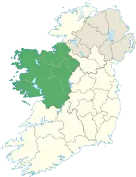 | ||||||
| Dartry Mountains | |||||||
| Maumturks | |||||||
| Mweelrea Mountains | |||||||
| Nephin Range | |||||||
| Ox Mountains | |||||||
| Partry Mountains | |||||||
| Sheeffry Range | |||||||
| Benna Beola |
| ||||||
| Others | |||||||
This article is issued from Wikipedia. The text is licensed under Creative Commons - Attribution - Sharealike. Additional terms may apply for the media files.