Saint-Léger, Belgium
Saint-Léger (French pronunciation: [sɛ̃ leʒe] ⓘ; also unofficial Saint-Léger-en-Gaume; Walloon: Sint-Ldjir-e-Gåme) is a municipality of Wallonia located in the province of Luxembourg, Belgium.
Saint-Léger
| |
|---|---|
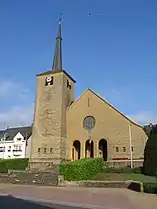 The church | |
 Flag .svg.png.webp) Coat of arms | |
Location of Saint-Léger | |
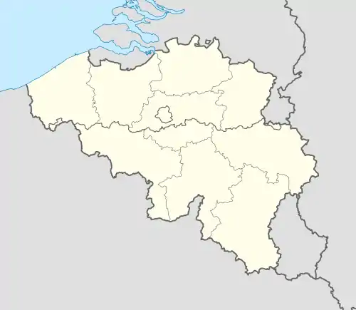 Saint-Léger Location in Belgium
Location of Saint-Léger in Luxembourg province 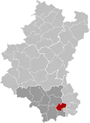 | |
| Coordinates: 49°37′N 05°39′E | |
| Country | |
| Community | French Community |
| Region | Wallonia |
| Province | Luxembourg |
| Arrondissement | Virton |
| Government | |
| • Mayor | Alain Rongvaux (Avenir) |
| • Governing party/ies | Avenir |
| Area | |
| • Total | 36.25 km2 (14.00 sq mi) |
| Population (2018-01-01)[1] | |
| • Total | 3,592 |
| • Density | 99/km2 (260/sq mi) |
| Postal codes | 6747 |
| NIS code | 85034 |
| Area codes | 063 |
| Website | (in French) saint-leger.be |
On 1 January 2007 the municipality, which covers 35.86 km2, had 3,225 inhabitants, giving a population density of 89.9 inhabitants per km2.
The municipality consists of the districts of Châtillon, Meix-le-Tige, and Saint-Léger.
References
- "Wettelijke Bevolking per gemeente op 1 januari 2018". Statbel. Retrieved 9 March 2019.
External links
 Media related to Saint-Léger-en-Gaume at Wikimedia Commons
Municipalities of the province of Luxembourg, Wallonia | ||
|---|---|---|
| Arlon | 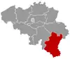 | |
| Bastogne | ||
| Marche-en-Famenne | ||
| Neufchâteau | ||
| Virton | ||
Bold indicates cities | ||
This article is issued from Wikipedia. The text is licensed under Creative Commons - Attribution - Sharealike. Additional terms may apply for the media files.