Saint-Hilaire-sur-Erre
Saint-Hilaire-sur-Erre (French pronunciation: [sɛ̃t‿ilɛːʁ syʁ ɛʁ] ⓘ) is a commune in the Orne department in north-western France.[3]
Saint-Hilaire-sur-Erre | |
|---|---|
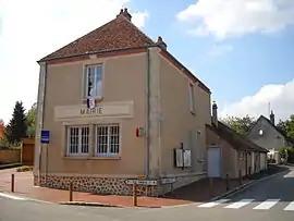 The town hall in Saint-Hilaire-sur-Erre | |
Location of Saint-Hilaire-sur-Erre | |
 Saint-Hilaire-sur-Erre  Saint-Hilaire-sur-Erre | |
| Coordinates: 48°18′48″N 0°44′21″E | |
| Country | France |
| Region | Normandy |
| Department | Orne |
| Arrondissement | Mortagne-au-Perche |
| Canton | Ceton |
| Government | |
| • Mayor (2020–2026) | Claudine Bereau[1] |
| Area 1 | 15.12 km2 (5.84 sq mi) |
| Population | 516 |
| • Density | 34/km2 (88/sq mi) |
| Time zone | UTC+01:00 (CET) |
| • Summer (DST) | UTC+02:00 (CEST) |
| INSEE/Postal code | 61405 /61340 |
| Elevation | 96–188 m (315–617 ft) (avg. 130 m or 430 ft) |
| 1 French Land Register data, which excludes lakes, ponds, glaciers > 1 km2 (0.386 sq mi or 247 acres) and river estuaries. | |
See also
References
- "Répertoire national des élus: les maires". data.gouv.fr, Plateforme ouverte des données publiques françaises (in French). 9 August 2021.
- "Populations légales 2020". The National Institute of Statistics and Economic Studies. 29 December 2022.
- INSEE commune file
Wikimedia Commons has media related to Saint-Hilaire-sur-Erre.
This article is issued from Wikipedia. The text is licensed under Creative Commons - Attribution - Sharealike. Additional terms may apply for the media files.