River Chelt
The River Chelt is a tributary of England's largest river, the Severn. The Chelt flows through the western edge of the Cotswolds and the town of Cheltenham, from which it derives its name,[1] before its confluence with the River Severn at Wainlodes Hill.[2][3]
| River Chelt | |
|---|---|
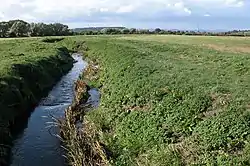 River Chelt near Wainlode (September 2005) | |
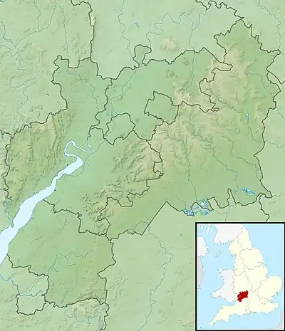 Location within Gloucestershire | |
| Location | |
| Country | England |
| Counties | Gloucestershire |
| Physical characteristics | |
| Mouth | |
• location | River Severn |
• coordinates | 51.9337°N 2.2221°W |
| Length | 22 km (14 mi) |
There were a number of mills along the length of the river, the highest being in Charlton Kings and the lowest at Norton where the river passes under the present A38.[4]
The river caused significant flooding in 1979 and 2007.[5]
See also
References
- Mills, A. D. (2003). A Dictionary of British Place-Names. Oxford: Oxford University Press. ISBN 9780198527589.
- "Chelt - M5 to conf R Severn". Catchment Data Explorer. Environment Agency. Retrieved 20 April 2016.
- "Chelt - Source to M5". Catchment Data Explorer. Environment Agency. Retrieved 20 April 2016.
- "The History of Hesters Way: Chris Green". Archived from the original on 13 August 2009. Retrieved 31 July 2009.History of Hester's Way
- "Love your River Chelt". Gloucestershire Wildlife Trust. Retrieved 18 April 2016.
External links
![]() Media related to River Chelt at Wikimedia Commons
Media related to River Chelt at Wikimedia Commons
This article is issued from Wikipedia. The text is licensed under Creative Commons - Attribution - Sharealike. Additional terms may apply for the media files.