Razor Hill
Razor Hill, also locally known as Che Kwu Shan (Chinese: 鷓鴣山), is a hill between Pik Uk, Ta Ku Ling, Tseung Kwan O, and Tai Po Tsai in the New Territories of Hong Kong. It is 432 metres tall.
| Razor Hill | |
|---|---|
| 鷓鴣山 | |
_from_Autau%252C_Tsenglanshue.jpg.webp) Western slope of Razor Hill, from Au Tau / Tseng Lan Shue | |
| Highest point | |
| Elevation | 432 m (1,417 ft) |
| Listing | List of mountains, peaks and hills in Hong Kong |
| Coordinates | 22°19′51.1″N 114°15′12.64″E |
| Naming | |
| English translation | Francolin hill |
| Geography | |
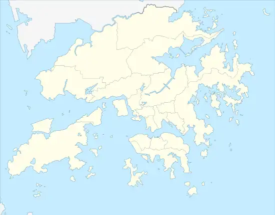 Razor Hill Location of Razor Hill in Hong Kong | |
| Location | Eastern New Territories, |
[1] The north and east mid slopes are skirted by Clear Water Bay Road.[2] [3]
.jpg.webp)
Western slope of Razor Hill, from Little Hawaii Trail, Tseng Lan Shue

Razor Hill
References
- "WalkOnHill‧Razor Hill". WalkOnHill. Retrieved 2019-11-06.
- "Razor Hill‧Oasistrek". www.oasistrek.com. Retrieved 2019-11-06.
- "Razor Hill‧Hong Kong Hikes". www.hongkonghikes.com. Retrieved 2020-08-23.
Wikimedia Commons has media related to Razor Hill.
This article is issued from Wikipedia. The text is licensed under Creative Commons - Attribution - Sharealike. Additional terms may apply for the media files.