Quebec Route 220
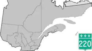
Route 220 is a provincial highway located in the Estrie region of Quebec. The highway runs from Sainte-Anne-de-la-Rochelle at the junction of Route 243 and ends west of downtown Sherbrooke at Autoroute 410. The road connects the northern section of the Mont Orford Park.
Route 220 | ||||
|---|---|---|---|---|
 | ||||
| Route information | ||||
| Maintained by Transports Québec | ||||
| Length | 36.9 km[1] (22.9 mi) | |||
| Major junctions | ||||
| West end | ||||
| East end | ||||
| Location | ||||
| Country | Canada | |||
| Province | Quebec | |||
| Highway system | ||||
| ||||

Municipalities along Route 220
.jpg.webp) Saint-Élie Road in Sherbrooke.
Saint-Élie Road in Sherbrooke. Route 220 at Orford.
 Route 220 near Lake Brompton.
See also
References
- Ministère des transports, "Distances routières", page 83, Les Publications du Québec, 2005
External links
- Official Transports Quebec Road Network Map (in French)
- Route 220 on Google Maps
This article is issued from Wikipedia. The text is licensed under Creative Commons - Attribution - Sharealike. Additional terms may apply for the media files.