Polná na Šumavě
Polná na Šumavě (German: Stein im Böhmerwald) is a municipality and village in Český Krumlov District in the South Bohemian Region of the Czech Republic. It has about 200 inhabitants.
Polná na Šumavě | |
|---|---|
 View from the south | |
 Flag  Coat of arms | |
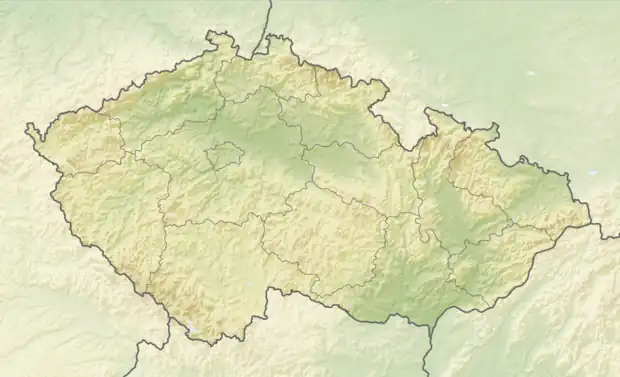 Polná na Šumavě Location in the Czech Republic | |
| Coordinates: 48°47′57″N 14°8′49″E | |
| Country | |
| Region | South Bohemian |
| District | Český Krumlov |
| First mentioned | 1259 |
| Area | |
| • Total | 19.12 km2 (7.38 sq mi) |
| Elevation | 750 m (2,460 ft) |
| Population (2023-01-01)[1] | |
| • Total | 199 |
| • Density | 10/km2 (27/sq mi) |
| Time zone | UTC+1 (CET) |
| • Summer (DST) | UTC+2 (CEST) |
| Postal code | 382 29 |
| Website | www |
Administrative parts
Villages and hamlets of Květušín, Olšina and Otice are administrative parts of Polná na Šumavě.
History
The first written mention of Polná na Šumavě is from 1259.[2] The municipality was recreated on 1 January 2016 by diminishing of Boletice Military Training Area.[3]
References
- "Population of Municipalities – 1 January 2023". Czech Statistical Office. 2023-05-23.
- Profous, Antonín (1951). Místní jména v Čechách III: M–Ř (in Czech). p. 429.
- "Nejnovější obce slaví dva roky existence. Polná na Šumavě se naučila fungovat, domy lidem zatím neprodá" (in Czech). Czech Television. 2017-12-25. Retrieved 2022-07-08.
This article is issued from Wikipedia. The text is licensed under Creative Commons - Attribution - Sharealike. Additional terms may apply for the media files.