Horní Dvořiště
Horní Dvořiště (German: Oberhaid) is a municipality and village in Český Krumlov District in the South Bohemian Region of the Czech Republic. It has about 500 inhabitants.
Horní Dvořiště | |
|---|---|
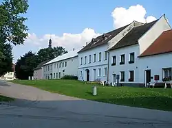 Centre of Horní Dvořiště | |
 Flag  Coat of arms | |
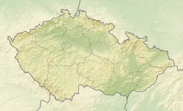 Horní Dvořiště Location in the Czech Republic | |
| Coordinates: 48°36′14″N 14°24′21″E | |
| Country | |
| Region | South Bohemian |
| District | Český Krumlov |
| First mentioned | 1278 |
| Area | |
| • Total | 13.59 km2 (5.25 sq mi) |
| Elevation | 651 m (2,136 ft) |
| Population (2023-01-01)[1] | |
| • Total | 456 |
| • Density | 34/km2 (87/sq mi) |
| Time zone | UTC+1 (CET) |
| • Summer (DST) | UTC+2 (CEST) |
| Postal code | 382 93 |
| Website | www |
Administrative parts
The village of Český Heršlák is an administrative part of Horní Dvořiště.
References
This article is issued from Wikipedia. The text is licensed under Creative Commons - Attribution - Sharealike. Additional terms may apply for the media files.