Pelter Glacier
Pelter Glacier (71°57′S 98°22′W) is a glacier about 5 nautical miles (9.3 km; 5.8 mi) long on Thurston Island, flowing from the east side of Noville Peninsula into the west side of Murphy Inlet. Delineated from air photos taken by U.S. Navy Squadron VX-6 in January 1960. Named by Advisory Committee on Antarctic Names (US-ACAN) for J.A. Pelter, aerial photographer with the Byrd Antarctic Expedition in 1933–35.
| Pelter Glacier | |
|---|---|
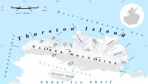 Map of Thurston Island | |
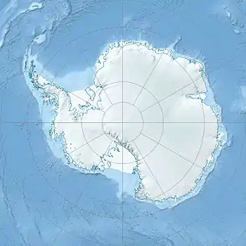 Location of Pelter Glacier in Antarctica | |
| Location | Ellsworth Land |
| Coordinates | 71°57′00″S 98°22′00″W |
| Length | 5 nautical miles (9.3 km; 5.8 mi) |
| Thickness | unknown |
| Terminus | Murphy Inlet |
| Status | unknown |
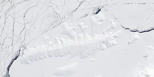
Satellite image of Thurston Island.
Maps
- Thurston Island – Jones Mountains. 1:500000 Antarctica Sketch Map. US Geological Survey, 1967.
- Antarctic Digital Database (ADD). Scale 1:250000 topographic map of Antarctica. Scientific Committee on Antarctic Research (SCAR). Since 1993, regularly upgraded and updated.
References
 This article incorporates public domain material from "Pelter Glacier". Geographic Names Information System. United States Geological Survey.
| Types | |||||||
|---|---|---|---|---|---|---|---|
| Anatomy | |||||||
| Processes | |||||||
| Measurements | |||||||
| Volcanic relations | |||||||
| Landforms |
| ||||||
| |||||||
This article is issued from Wikipedia. The text is licensed under Creative Commons - Attribution - Sharealike. Additional terms may apply for the media files.