Kannheiser Glacier
Kannheiser Glacier (72°10′S 101°42′W) is a glacier about 4 nautical miles (7 km) long, lying 12 nautical miles (22 km) east-southeast of Cape Flying Fish on Thurston Island, Antarctica, and flowing south into the Abbot Ice Shelf. It was first delineated from air photos taken by U.S. Navy Operation Highjump in December 1946, and was named by the Advisory Committee on Antarctic Names for Lieutenant Commander William Kannheiser, U.S. Navy, a helicopter pilot aboard USS Glacier, who explored and photographed new Thurston Island features in February 1960.[1]
| Kannheiser Glacier | |
|---|---|
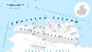 Map of Thurston Island | |
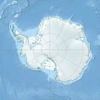 Location of Kannheiser Glacier in Antarctica | |
| Type | tributary |
| Location | Ellsworth Land |
| Coordinates | 72°10′00″S 101°42′00″W |
| Length | 4 nautical miles (7.4 km; 4.6 mi) |
| Thickness | unknown |
| Terminus | Abbot Ice Shelf |
| Status | unknown |
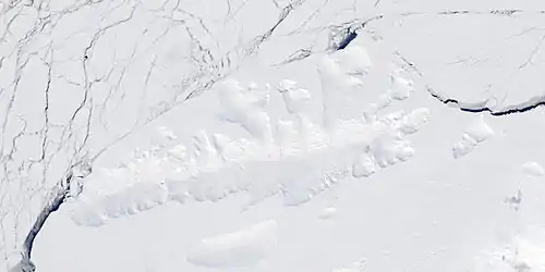
Satellite image of Thurston Island.
Maps
- Thurston Island – Jones Mountains. 1:500000 Antarctica Sketch Map. US Geological Survey, 1967.
- Antarctic Digital Database (ADD). Scale 1:250000 topographic map of Antarctica. Scientific Committee on Antarctic Research (SCAR). Since 1993, regularly upgraded and updated.
References
- "Kannheiser Glacier". Geographic Names Information System. United States Geological Survey, United States Department of the Interior. Retrieved 12 April 2013.
 This article incorporates public domain material from "Kannheiser Glacier". Geographic Names Information System. United States Geological Survey.
| Types | |||||||
|---|---|---|---|---|---|---|---|
| Anatomy | |||||||
| Processes | |||||||
| Measurements | |||||||
| Volcanic relations | |||||||
| Landforms |
| ||||||
| |||||||
This article is issued from Wikipedia. The text is licensed under Creative Commons - Attribution - Sharealike. Additional terms may apply for the media files.