Parsabad County
Parsabad County (Persian: شهرستان پارسآباد) is in Ardabil province, Iran. Its capital is the city of Parsabad.
Parsabad County
Persian: شهرستان پارسآباد | |
|---|---|
County | |
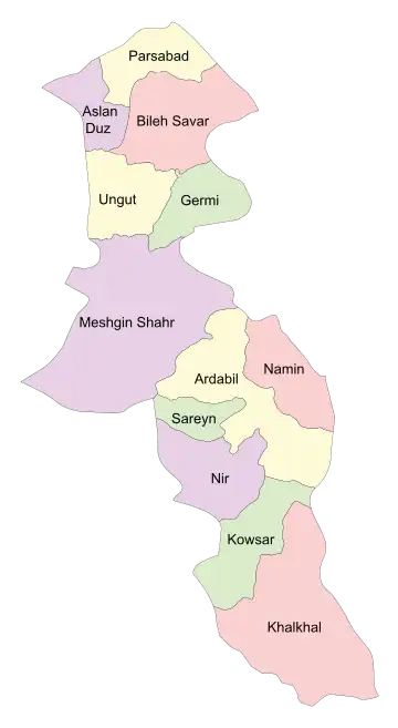 Location of Parsabad County in Ardabil province (top, yellow) | |
 Location of Ardabil province in Iran | |
| Coordinates: 39°33′N 47°53′E[1] | |
| Country | |
| Province | Ardabil |
| Capital | Parsabad |
| Districts | Central, Eslamabad, Tazeh Kand |
| Area | |
| • Total | 814 km2 (314 sq mi) |
| Population (2016) | |
| • Total | 177,601 |
| • Density | 220/km2 (570/sq mi) |
| Time zone | UTC+3:30 (IRST) |
| Parsabad County at GEOnet Names Server | |
At the 2006 census, the county's population was 164,576 in 34,456 households.[2] The following census in 2011 counted 173,182 people in 44,035 households.[3] At the 2016 census, the county's population was 177,601 in 50,083 households.[4] Aslan Duz District was separated from the county in 2018 to form Aslan Duz County.[5]
Administrative divisions
The population history and structural changes of Parsabad County's administrative divisions over three consecutive censuses are shown in the following table. The latest census shows four districts, eight rural districts, and four cities.[4]
| Administrative Divisions | 2006[2] | 2011[3] | 2016[4] |
|---|---|---|---|
| Central District | 122,923 | 131,395 | 118,144 |
| Owltan RD | 9,261 | ||
| Qeshlaq-e Shomali RD | 23,821 | 24,296 | |
| Savalan RD | 17,320 | 18,175 | 15,496 |
| Owltan (city)1 | |||
| Parsabad (city) | 81,782 | 88,924 | 93,387 |
| Aslan Duz District2 | 27,418 | 27,583 | 32,506 |
| Aslan Duz RD | 15,324 | 16,116 | 17,709 |
| Qeshlaq-e Gharbi RD | 8,184 | 6,910 | 8,449 |
| Aslan Duz (city) | 3,910 | 4,557 | 6,348 |
| Eslamabad District | 13,944 | ||
| Eslamabad RD | 4,218 | ||
| Shahrak RD | 6,658 | ||
| Eslamabad (city)3 | 3,068 | ||
| Tazeh Kand District | 14,235 | 14,204 | 13,006 |
| Mahmudabad RD | 5,579 | 5,525 | 4,615 |
| Tazeh Kand RD | 8,656 | 5,881 | 5,816 |
| Moghansar (city)4 | 2,798 | 2,575 | |
| Total | 164,576 | 173,182 | 177,601 |
| 1Became a city after the 2016 census[6] 2Became a part of Aslan Duz County[5] 3Formerly Eslamabad-e Qadim[7] 4Formerly Tazeh Kand-e Qadim[8] | |||
Wikimedia Commons has media related to Parsabad County.
References
- OpenStreetMap contributors (28 March 2023). "Parsabad County" (Map). OpenStreetMap. Retrieved 28 March 2023.
- "Census of the Islamic Republic of Iran, 1385 (2006)". AMAR (in Persian). The Statistical Center of Iran. p. 24. Archived from the original (Excel) on 20 September 2011. Retrieved 25 September 2022.
- "Census of the Islamic Republic of Iran, 1390 (2011)" (Excel). Iran Data Portal (in Persian). The Statistical Center of Iran. p. 24. Retrieved 19 December 2022.
- "Census of the Islamic Republic of Iran, 1395 (2016)". AMAR (in Persian). The Statistical Center of Iran. p. 24. Archived from the original (Excel) on 22 March 2019. Retrieved 19 December 2022.
- Jahangiri, Ishaq (24 March 2017). "Approval letter regarding country divisions in Parsabad County of Ardabil province". Islamic Parliament Research Center of the Islamic Republic of Iran (in Persian). Ministry of Interior. Archived from the original on 15 March 2019. Retrieved 26 March 2023.
- "Approval letter regarding the conversion of Owltan village, Parsabad County, Ardabil province into a city". DOTIC (in Persian). Council of Ministers of the Ministry of Interior. Archived from the original on 3 August 2021. Retrieved 28 March 2023.
- "Two villages in Ardabil turned into cities". Mehr News (in Persian). Archived from the original on 28 March 2023. Retrieved 28 March 2023.
- Natiq, Mohammad Mirzaei (2 May 2018). "With the approval of the Board of Ministers, the name of the new city of Parsabad in the north of the province was changed to Moghansar". Mehr News (in Persian). Ministry of Interior. Archived from the original on 28 March 2023. Retrieved 28 March 2023.
| Capital | 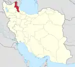 | ||||||||||||||||||||||
|---|---|---|---|---|---|---|---|---|---|---|---|---|---|---|---|---|---|---|---|---|---|---|---|
| Counties and cities |
| ||||||||||||||||||||||
| Landmarks |
| ||||||||||||||||||||||
| Places | |||||||||||||||||||||||
This article is issued from Wikipedia. The text is licensed under Creative Commons - Attribution - Sharealike. Additional terms may apply for the media files.