Mutěnice (Strakonice District)
Mutěnice is a municipality and village in Strakonice District in the South Bohemian Region of the Czech Republic. It has about 300 inhabitants.
Mutěnice | |
|---|---|
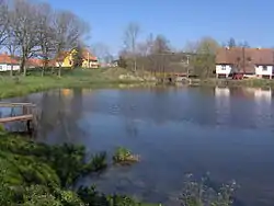 Okoun Pond in the centre of Mutěnice | |
_-_Flag.jpg.webp) Flag _-_CoA.png.webp) Coat of arms | |
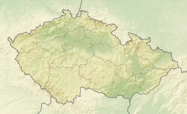 Mutěnice Location in the Czech Republic | |
| Coordinates: 49°14′23″N 13°53′48″E | |
| Country | |
| Region | South Bohemian |
| District | Strakonice |
| First mentioned | 1243 |
| Area | |
| • Total | 2.28 km2 (0.88 sq mi) |
| Elevation | 406 m (1,332 ft) |
| Population (2023-01-01)[1] | |
| • Total | 263 |
| • Density | 120/km2 (300/sq mi) |
| Time zone | UTC+1 (CET) |
| • Summer (DST) | UTC+2 (CEST) |
| Postal code | 386 01 |
| Website | www |
Mutěnice lies approximately 3 kilometres (2 mi) south-west of Strakonice, 52 km (32 mi) north-west of České Budějovice, and 102 km (63 mi) south of Prague.
Gallery
.jpg.webp) Chapel
Chapel.jpg.webp) Main street
Main street.jpg.webp) Crossroads
Crossroads
This article is issued from Wikipedia. The text is licensed under Creative Commons - Attribution - Sharealike. Additional terms may apply for the media files.