Bratronice (Strakonice District)
Bratronice is a municipality and village in Strakonice District in the South Bohemian Region of the Czech Republic. It has about 70 inhabitants.
Bratronice | |
|---|---|
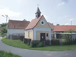 Chapel in the centre of Bratronice | |
.jpg.webp) Flag .jpg.webp) Coat of arms | |
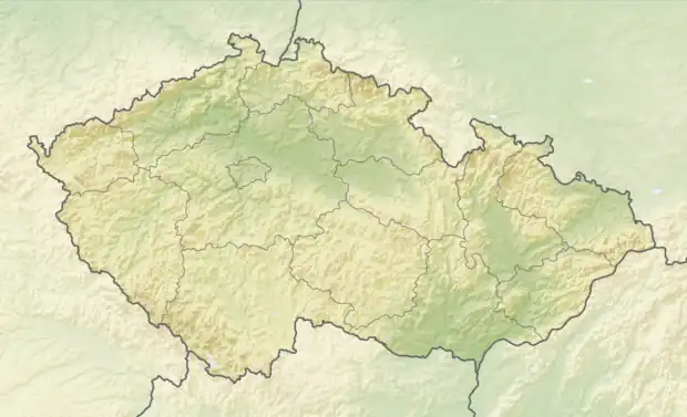 Bratronice Location in the Czech Republic | |
| Coordinates: 49°21′55″N 13°50′33″E | |
| Country | |
| Region | South Bohemian |
| District | Strakonice |
| First mentioned | 1227 |
| Area | |
| • Total | 4.70 km2 (1.81 sq mi) |
| Elevation | 545 m (1,788 ft) |
| Population (2023-01-01)[1] | |
| • Total | 69 |
| • Density | 15/km2 (38/sq mi) |
| Time zone | UTC+1 (CET) |
| • Summer (DST) | UTC+2 (CEST) |
| Postal code | 388 01 |
| Website | www |
Bratronice lies approximately 13 kilometres (8 mi) north of Strakonice, 64 km (40 mi) north-west of České Budějovice, and 90 km (56 mi) south-west of Prague.
Administrative parts
The hamlet of Katovsko is an administrative part of Bratronice.
References
This article is issued from Wikipedia. The text is licensed under Creative Commons - Attribution - Sharealike. Additional terms may apply for the media files.