Mount Fitzpatrick
Mount Fitzpatrick (10,912 feet (3,326 m)) is located in the Salt River Range in the U.S. state of Wyoming.[3] The peak is the highest in the Salt River Range.[1]
| Mount Fitzpatrick | |
|---|---|
 East aspect, with Upper Crow Creek Lake | |
| Highest point | |
| Elevation | 10,912 ft (3,326 m)[1] |
| Prominence | 2,227 ft (679 m)[1] |
| Coordinates | 42°43′34″N 110°46′36″W[2] |
| Geography | |
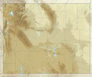 Mount Fitzpatrick Location in Wyoming  Mount Fitzpatrick Location in the United States | |
| Location | Lincoln County, Wyoming, U.S. |
| Parent range | Salt River Range |
| Topo map | USGS Red Top Mountain |
References
- "Mount Fitzpatrick, Wyoming". Peakbagger.com. Retrieved 2010-11-28.
- "Mount Fitzpatrick". Geographic Names Information System. United States Geological Survey, United States Department of the Interior. Retrieved 2010-11-28.
- "Red Top Mountain, WY" (Map). TopoQuest (USGS Quads). Retrieved 2010-11-28.
This article is issued from Wikipedia. The text is licensed under Creative Commons - Attribution - Sharealike. Additional terms may apply for the media files.