Man Pangong
Man Pangong is a village in the Leh district of the Indian union territory of Ladakh.[2] It is located in the Durbuk tehsil, near the Pangong Tso lake.
Man Pangong | |
|---|---|
Village | |
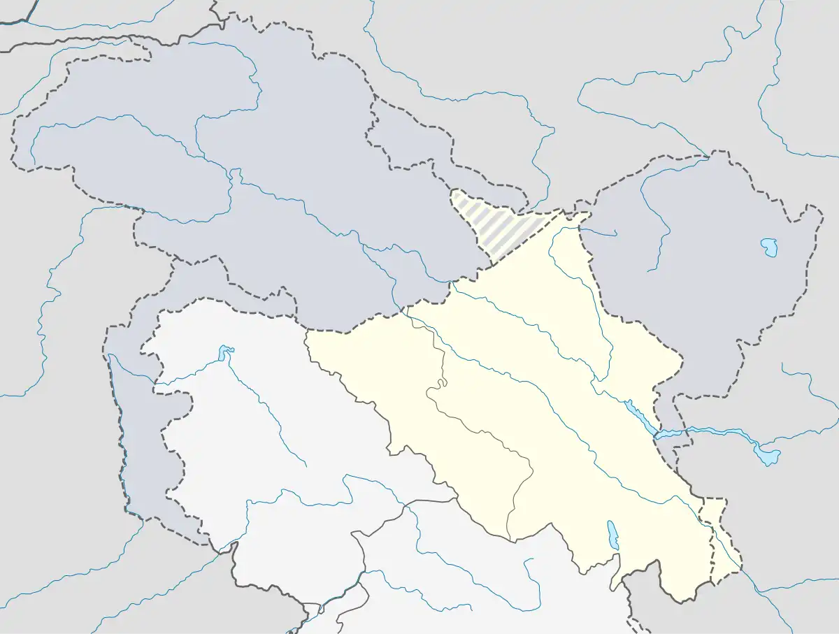 Man Pangong Location in Ladakh, India 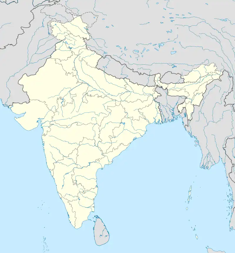 Man Pangong Man Pangong (India) | |
| Coordinates: 33.801923°N 78.433250°E | |
| Country | India |
| Union Territory | Ladakh |
| District | Leh |
| Tehsil | Durbuk[1] |
| Population (2011) | |
| • Total | 977 |
| Time zone | UTC+5:30 (IST) |
| Census code | 876 |
Demographics
According to the 2011 census of India, Man Pangong has 171 households. The effective literacy rate (i.e. the literacy rate of population excluding children aged 6 and below) is 69.52%.[3]
| Total | Male | Female | |
|---|---|---|---|
| Population | 977 | 459 | 518 |
| Children aged below 6 years | 111 | 52 | 59 |
| Scheduled caste | 0 | 0 | 0 |
| Scheduled tribe | 969 | 455 | 514 |
| Literates | 602 | 338 | 264 |
| Workers (all) | 670 | 317 | 353 |
| Main workers (total) | 435 | 234 | 201 |
| Main workers: Cultivators | 345 | 179 | 166 |
| Main workers: Agricultural labourers | 6 | 4 | 2 |
| Main workers: Household industry workers | 1 | 1 | 0 |
| Main workers: Other | 83 | 50 | 33 |
| Marginal workers (total) | 235 | 83 | 152 |
| Marginal workers: Cultivators | 215 | 69 | 146 |
| Marginal workers: Agricultural labourers | 3 | 1 | 2 |
| Marginal workers: Household industry workers | 0 | 0 | 0 |
| Marginal workers: Others | 17 | 13 | 4 |
| Non-workers | 307 | 142 | 165 |
References
- "Villages | District Leh, Union Territory of Ladakh | India".
- "Blockwise Village Amenity Directory" (PDF). Ladakh Autonomous Hill Development Council. Retrieved 23 July 2015.
- "Leh district census". 2011 Census of India. Directorate of Census Operations. Retrieved 23 July 2015.
| State symbols | |||||||||||||||||||
|---|---|---|---|---|---|---|---|---|---|---|---|---|---|---|---|---|---|---|---|
| History |
| ||||||||||||||||||
| Administration | |||||||||||||||||||
| Geography |
| ||||||||||||||||||
| Human settlements | |||||||||||||||||||
| Culture |
| ||||||||||||||||||
| Tourism and wildlife |
| ||||||||||||||||||
| Transport |
| ||||||||||||||||||
| Infrastructure |
| ||||||||||||||||||
| See also |
| ||||||||||||||||||
This article is issued from Wikipedia. The text is licensed under Creative Commons - Attribution - Sharealike. Additional terms may apply for the media files.