Linden Grove, Minnesota
Linden Grove is an unincorporated community in Linden Grove Township, Saint Louis County, Minnesota, United States.
Linden Grove | |
|---|---|
 Linden Grove Location of the community of Linden Grove within Linden Grove Township, Saint Louis County  Linden Grove Linden Grove (the United States) | |
| Coordinates: 47°51′47″N 92°52′14″W | |
| Country | United States |
| State | Minnesota |
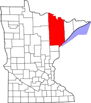
| County | Saint Louis |
| Township | Linden Grove Township |
| Elevation | 1,309 ft (399 m) |
| Population | |
| • Total | 10 |
| Time zone | UTC-6 (Central (CST)) |
| • Summer (DST) | UTC-5 (CDT) |
| ZIP code | 55723 |
| Area code | 218 |
| GNIS feature ID | 661723[1] |
The community is 14 miles (23 km) south of Orr, and eight miles (13 km) west of Cook, at the junction of State Highway 1 (MN 1) and State Highway 73 (MN 73).
The Little Fork River flows through the community.
References
- Rand McNally Road Atlas – 2007 edition – Minnesota entry
- Official State of Minnesota Highway Map – 2011/2012 edition
This article is issued from Wikipedia. The text is licensed under Creative Commons - Attribution - Sharealike. Additional terms may apply for the media files.