Liboi Airport
Liboi Airport (IATA: LBK, ICAO: n/a) is an airport serving the town of Liboi in the Garissa County of Kenya.
Liboi Airport | |||||||||||
|---|---|---|---|---|---|---|---|---|---|---|---|
| Summary | |||||||||||
| Airport type | Public | ||||||||||
| Owner/Operator | Kenya Civil Aviation Authority | ||||||||||
| Serves | Liboi | ||||||||||
| Elevation AMSL | 320 ft / 98 m | ||||||||||
| Coordinates | 00°21′14″N 40°52′40″E | ||||||||||
| Map | |||||||||||
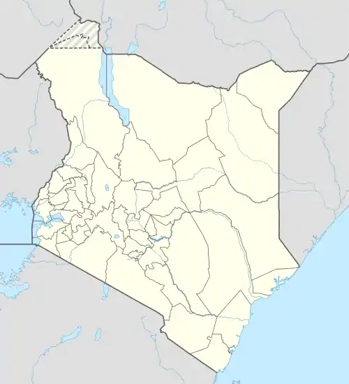 LBK Location of the airport in Kenya | |||||||||||
| Runways | |||||||||||
| |||||||||||
Location
The airport lies adjacent to and is southeast of the town of Liboi, approximately 556 kilometres (345 mi) by road, and 478 kilometres (297 mi), by air, north-east of Jomo Kenyatta International Airport, the largest airport in Kenya.[1] The coordinates of this airport are 0°21'14.0"N, 40°52'40.0"E (Latitude:0.353889; Longitude:40.877778).[2]
Overview
The airport is at an average elevation of 320 feet (98 m) and has a single murram-surfaced runway (12/30), measuring 6,000 feet (1,800 m) long.[3]
References
- Globefeed.com (12 September 2016). "Distance between Jomo Kenyatta International Airport, Nairobi, Kenya and Liboi Airstrip, Liboi, Kenya". Globefeed.com. Retrieved 12 September 2016.
- Google (12 September 2016). "Location of Liboi Airport, Liboi, Garissa County, Kenya" (Map). Google Maps. Google. Retrieved 12 September 2016.
- theAirDB (12 September 2016). "Information About Liboi Airport (LBK)". TheAirDB.com. Retrieved 12 September 2016.
External links
This article is issued from Wikipedia. The text is licensed under Creative Commons - Attribution - Sharealike. Additional terms may apply for the media files.