Eldoret International Airport
Eldoret Airport is an international airport in Kenya.
Eldoret International Airport | |||||||||||
|---|---|---|---|---|---|---|---|---|---|---|---|
 | |||||||||||
| Summary | |||||||||||
| Airport type | Public, Civilian | ||||||||||
| Owner | Kenya Airports Authority | ||||||||||
| Serves | Eldoret | ||||||||||
| Location | Eldoret, Kenya | ||||||||||
| Elevation AMSL | 7,050 ft / 2,150 m | ||||||||||
| Coordinates | 00°24′16″N 35°14′20″E | ||||||||||
| Map | |||||||||||
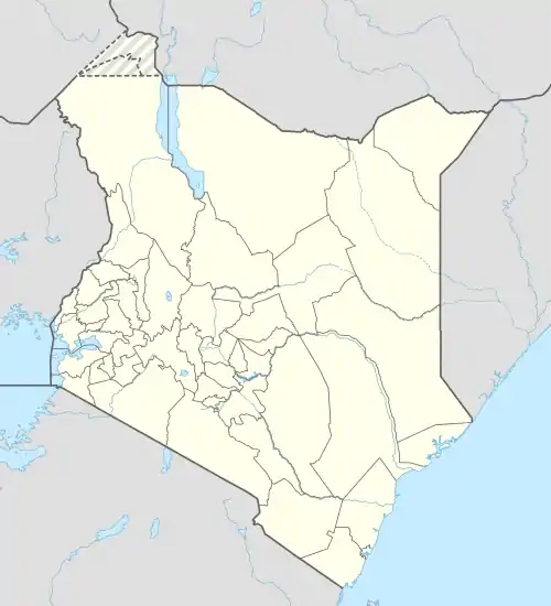
 EDL Location of Eldoret Airport in Kenya Placement on map is approximate | |||||||||||
| Runways | |||||||||||
| |||||||||||
| Statistics (2013) | |||||||||||
| |||||||||||
Location

Eldoret Airport, (IATA: EDL, ICAO: HKEL), is located in the city of Eldoret, in Uasin Gishu County, in midwestern Kenya, close to the international border with Uganda. Its location is approximately 17 kilometres (11 mi), by road, south of the central business district of Eldoret in Kapseret Ward.[2] This location lies approximately 269 kilometres (167 mi), by air, northwest of Jomo Kenyatta International Airport, the largest civilian and military airport in the country.[3]
Overview
Eldoret International Airport is a large airport that serves the city of Eldoret and the surrounding communities. Situated at 2,150 metres (7,050 ft) above sea level,[4] the airport has a single asphalt runway that measures 3,475 metres (11,401 ft) in length.[5]
History
The airport was established in 1995.[6] It is administered by the Kenya Airports Authority. Currently, the airport has two scheduled International cargo flights and several ad hoc freighters per week. The airport is open from Monday to Sunday from 03.30 hours to 17.30 hours GMT, but the hours can be extended on request.[7] Currently, the airport has three scheduled international cargo flights and several ad hoc freighters per week.
Eldoret International Airport was built with the vision of achieving accelerated economic growth, through integration and opening up of the Western region to local and international markets. The airport is also expected to promote the exploitation of the rich tourism circuit of Western Kenya, which is largely unexploited.[8]

Airlines and destinations
Passenger
| Airlines | Destinations |
|---|---|
| Fly540 | Kisumu, Lodwar, Nairobi–Jomo Kenyatta |
| Jambo Jet | Nairobi–Jomo Kenyatta |
| Skyward Express | Lodwar, Nairobi–Wilson |
Cargo
| Airlines | Destinations |
|---|---|
| Astral Aviation | Nairobi–Jomo Kenyatta, Sharjah[9][10] |
Passenger numbers
| Year | Passenger numbers[11] |
|---|---|
| 2011 | 86,351 |
| 2012 | 91,399 |
| 2013 | 111,250 |
References
- "Sadimsolutions.com » Kenyan airports passenger traffic declines by 5% 2013". Archived from the original on 22 December 2015. Retrieved 21 December 2015.
- "Distance between Eldoret () (Airport) and Eldoret (Rift Valley) (Kenya)". distancecalculator.globefeed.com. Retrieved 21 August 2018.
- "Distance between Jomo Kenyatta Airport Nairobi (Nairobi Area) and Eldoret () (Airport) (Kenya)". distancecalculator.globefeed.com. Retrieved 21 August 2018.
- "Welcome theairdb.com - Hostmonster.com". www.theairdb.com. Retrieved 21 August 2018.
- "Airports in Kenya". www.aircraft-charter-world.com. Retrieved 21 August 2018.
- Eldoret Airport Founded In 1953
- "Eldoret International Airport > Kenya Airports Authority". Kenya Airports Authority. Retrieved 8 June 2023.
- "Eldoret International Airport > Kenya Airports Authority". Kenya Airports Authority. Retrieved 2 July 2020.
- "KENYAN CARGO AIRLINE, ASTRAL AVIATION, BEGINS FLIGHTS TO SHARJAH". Astral Aviation (Press release). 1 March 2021. Retrieved 2 August 2023.
- "Astral Aviation begins Sharjah to Eldoret service". Logistics Update Africa. 17 March 2021. Retrieved 2 August 2023.
- "Sadimsolutions.com » Kenyan airports passenger traffic declines by 5% 2013". Archived from the original on 22 December 2015. Retrieved 21 December 2015.
External links
![]() Media related to Eldoret International Airport at Wikimedia Commons
Media related to Eldoret International Airport at Wikimedia Commons
- Kenya Airports Authority – Eldoret International Airport
- Airport information for HKEL at Great Circle Mapper.