Kurland, South Africa
Kurland (often referred to as Kurland Village) is a rural township in the Garden Route District Municipality in the Western Cape province of South Africa.
Kurland | |
|---|---|
 Kurland 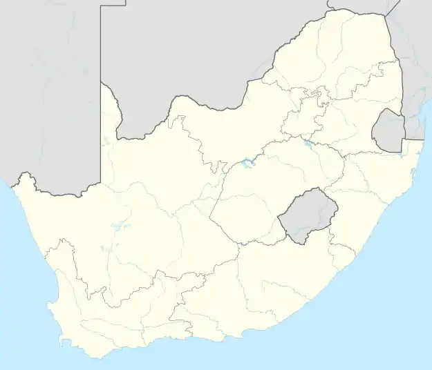 Kurland | |
| Coordinates: 33°56′45″S 23°29′39″E | |
| Country | South Africa |
| Province | Western Cape |
| District | Garden Route |
| Municipality | Bitou |
| Area | |
| • Total | 1.24 km2 (0.48 sq mi) |
| Population (2011)[1] | |
| • Total | 4,033 |
| • Density | 3,300/km2 (8,400/sq mi) |
| Racial makeup (2011) | |
| • Black African | 31.2% |
| • Coloured | 58.1% |
| • Indian/Asian | 0.2% |
| • White | 0.1% |
| • Other | 10.3% |
| First languages (2011) | |
| • Afrikaans | 70.0% |
| • Xhosa | 25.1% |
| • English | 1.7% |
| • Other | 3.2% |
| Time zone | UTC+2 (SAST) |
Located in the Crags area on the edge of the Tsitsikamma Nature Reserve, 20 km from Plettenberg Bay, it is affected by high levels of unemployment[2] and domestic violence. Tourist attractions in the area include Birds of Eden, Tenikwa, Monkeyland Primate Sanctuary, and Elephant Sanctuary along with guest houses and B&Bs. These places provide a vast number of job opportunities to the locals.[3] The Crags Primary School, built in 1981, is the only school in the village.
References
- "Kurland - Main Place 179002 from Census 2011". Census 2011: Main Place: Kurland.
- Dougan, Suné Payne & Leila (2019-05-16). "State of the Nation: Hunger aplenty on the fringe of seaside luxury". Daily Maverick. Retrieved 2021-06-04.
- "Kids of Kurland South Africa". Retrieved 4 June 2021.
Municipalities and communities of Garden Route District Municipality, Western Cape | ||
|---|---|---|
District seat: George | ||
| Bitou | .svg.png.webp) Garden Route District within South Africa | |
| George | ||
| Hessequa | ||
| Kannaland | ||
| Knysna | ||
| Mossel Bay | ||
| Oudtshoorn | ||
This article is issued from Wikipedia. The text is licensed under Creative Commons - Attribution - Sharealike. Additional terms may apply for the media files.