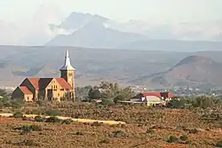
De Hoop, South Africa
De Hoop is a town in Oudtshoorn Local Municipality in the Western Cape province of South Africa.
De Hoop | |
|---|---|
 De Hoop, Oudtshoorn | |
 De Hoop 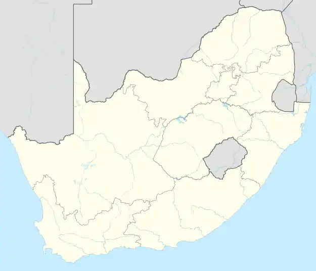 De Hoop | |
| Coordinates: 33.607°S 22.045°E | |
| Country | South Africa |
| Province | Western Cape |
| District | Garden Route |
| Municipality | Oudtshoorn |
| Area | |
| • Total | 0.57 km2 (0.22 sq mi) |
| Population (2011)[1] | |
| • Total | 151 |
| • Density | 260/km2 (690/sq mi) |
| Racial makeup (2011) | |
| • Coloured | 71.3% |
| • White | 28.7% |
| First languages (2011) | |
| • Afrikaans | 99.3% |
| • Other | 0.7% |
| Time zone | UTC+2 (SAST) |
Village of the Dutch Reformed Church 16 km west of Oudtshoorn. It was laid out in July 1908 and so named with reference to Rom. 5:5, 'hope maketh not ashamed'; the definite article is often used in Dutch and Afrikaans in conjunction with abstract nouns.[2]
References
- "Main Place De Hoop". Census 2011.
- Raper, Peter E. (1987). Dictionary of Southern African Place Names. Internet Archive. p. 133. Retrieved 28 August 2013.
Municipalities and communities of Garden Route District Municipality, Western Cape | ||
|---|---|---|
District seat: George | ||
| Bitou | .svg.png.webp) Garden Route District within South Africa | |
| George | ||
| Hessequa | ||
| Kannaland | ||
| Knysna | ||
| Mossel Bay | ||
| Oudtshoorn | ||
This article is issued from Wikipedia. The text is licensed under Creative Commons - Attribution - Sharealike. Additional terms may apply for the media files.