Kinsella, Alberta
Kinsella is a hamlet in Alberta, Canada within Beaver County.[2] It is located along Highway 14 and the CN Railway and has an elevation of 695 metres (2,280 ft).
Kinsella | |
|---|---|
 | |
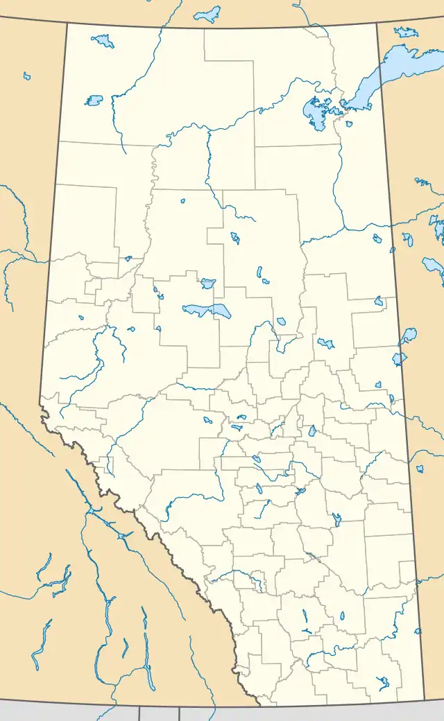 Kinsella Location of Kinsella in Alberta | |
| Coordinates: 53°00′01″N 111°31′26″W | |
| Country | Canada |
| Province | Alberta |
| Census division | No. 10 |
| Municipal district | Beaver County |
| Government | |
| • Type | Unincorporated |
| • Governing body | Beaver County Council |
| Elevation | 695 m (2,280 ft) |
| Population (2009)[1] | |
| • Total | 40 |
| Time zone | UTC-7 (MST) |
| • Summer (DST) | UTC-6 (MDT) |
| Area codes | T0B 2N0 |
The hamlet is located in census division No. 10 and in the federal riding of Vegreville-Wainwright.
Demographics
The population of Kinsella according to the 2009 municipal census conducted by Beaver County is 40.[1]
Research Station
The Roy Berg Kinsella Research Station is located directly northwest of the community. Founded in 1960, it is run by the University of Alberta.[3] It covers a total area of 4,856 hectares (12,000 acres).[4]
Climate
| Climate data for Kinsella | |||||||||||||
|---|---|---|---|---|---|---|---|---|---|---|---|---|---|
| Month | Jan | Feb | Mar | Apr | May | Jun | Jul | Aug | Sep | Oct | Nov | Dec | Year |
| Record high °C (°F) | 11.1 (52.0) |
12.5 (54.5) |
18.9 (66.0) |
30.6 (87.1) |
33.5 (92.3) |
33.9 (93.0) |
35.6 (96.1) |
37 (99) |
34.5 (94.1) |
28.5 (83.3) |
20.6 (69.1) |
13.5 (56.3) |
37 (99) |
| Average high °C (°F) | −9.2 (15.4) |
−5.2 (22.6) |
0.1 (32.2) |
10.5 (50.9) |
17.3 (63.1) |
20.8 (69.4) |
22.5 (72.5) |
22.5 (72.5) |
16.6 (61.9) |
10.1 (50.2) |
−1.6 (29.1) |
−7.1 (19.2) |
8.1 (46.6) |
| Average low °C (°F) | −18.4 (−1.1) |
−15 (5) |
−9.4 (15.1) |
−1.3 (29.7) |
4.5 (40.1) |
8.7 (47.7) |
10.7 (51.3) |
9.6 (49.3) |
4.5 (40.1) |
−1.1 (30.0) |
−10 (14) |
−16.1 (3.0) |
−2.8 (27.0) |
| Record low °C (°F) | −46.1 (−51.0) |
−45.6 (−50.1) |
−37.8 (−36.0) |
−26.1 (−15.0) |
−7 (19) |
−2.8 (27.0) |
2.2 (36.0) |
−2 (28) |
−8.3 (17.1) |
−23 (−9) |
−33.5 (−28.3) |
−45 (−49) |
−46.1 (−51.0) |
| Average precipitation mm (inches) | 22.7 (0.89) |
12.7 (0.50) |
20.9 (0.82) |
24 (0.9) |
43.7 (1.72) |
82.9 (3.26) |
73.8 (2.91) |
58.6 (2.31) |
35.2 (1.39) |
17.1 (0.67) |
18.2 (0.72) |
21.5 (0.85) |
431.2 (16.98) |
| Source: Environment Canada[5] | |||||||||||||
References
- Beaver County (2009). "Municipal Census Highlights" (PDF). Archived from the original (PDF) on 6 July 2011. Retrieved 29 July 2010.
- "Specialized and Rural Municipalities and Their Communities" (PDF). Alberta Municipal Affairs. 12 January 2022. Retrieved 21 January 2022.
- "Research Stations - Agricultural and Environmental Research Stations". University of Alberta. Archived from the original on 27 January 2016. Retrieved 6 June 2016.
- Kienlen, Alexis (3 September 2014). "The fearless researcher who revolutionized cattle breeding". FBC Communications LP. Alberta Farm Express. Retrieved 6 June 2016.
- Environment Canada—Canadian Climate Normals 1971–2000, accessed 6 April 2010
Places adjacent to Kinsella, Alberta | |
|---|---|
This article is issued from Wikipedia. The text is licensed under Creative Commons - Attribution - Sharealike. Additional terms may apply for the media files.