Kings Island (California)
Kings Island (formerly Bra's Island) is an island in the Old River in the south Sacramento-San Joaquin River Delta in San Joaquin County, California, 9.3 miles (15 km) southwest of Stockton.[1] The small 8.6-acre (3.5 ha) island is the smallest of a cluster of delta islands including Eucalyptus Island, Widdows Island, Victoria Island, and Coney Island, adjacent to Clifton Court Forebay. At 3 feet (0.91 m) above sea level with the surrounding waters kept a bay by a levee system, the island is accessible only by the one road from the Clifton Court levee or by boat. It appears on a 1978 United States Geological Survey map of the area.[2]
 USGS aerial imagery of the island, with Eucalyptus Island to the northwest, Victoria Island to the northeast, and the bridge to the Clifton Court levee to the south. | |
 Kings Island 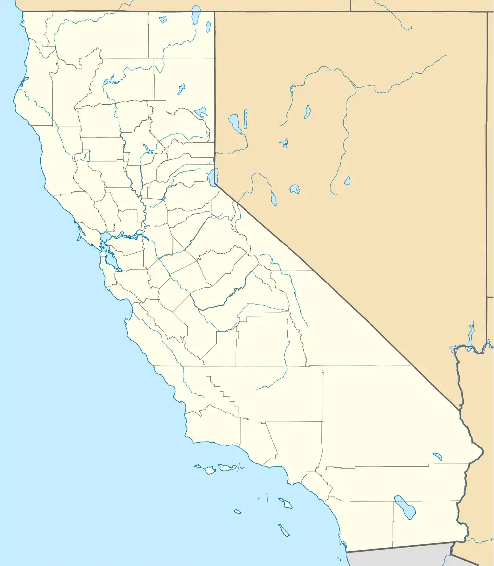 Kings Island  Kings Island | |
| Geography | |
|---|---|
| Location | Northern California |
| Coordinates | 37.857982°N 121.568839°W |
| Adjacent to | Sacramento-San Joaquin River Delta |
| Area | 8.6 acres (3.5 ha) |
| Administration | |
United States | |
| State | California |
| County | San Joaquin |
.png.webp)
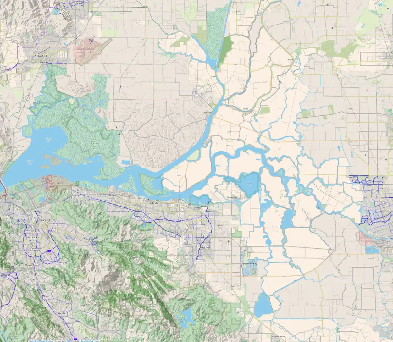
From left to right, Widdows Island, Eucalyptus Island and Kings Island. Byron Tract is on the west edge, and Victoria Island is on the east edge.
See also
References
- U.S. Geological Survey Geographic Names Information System: Kings Island (California)
- United States Geological Survey (2015). "Clifton Court Forebay Quadrangle, California" (Map). United States Department of the Interior Geological Survey. 1:24000.
External links
Map: Islands of Suisun Bay and the Sacramento–San Joaquin River Delta | |
|---|---|
(islands of the San Francisco Bay Area) |
This article is issued from Wikipedia. The text is licensed under Creative Commons - Attribution - Sharealike. Additional terms may apply for the media files.