Kerkini
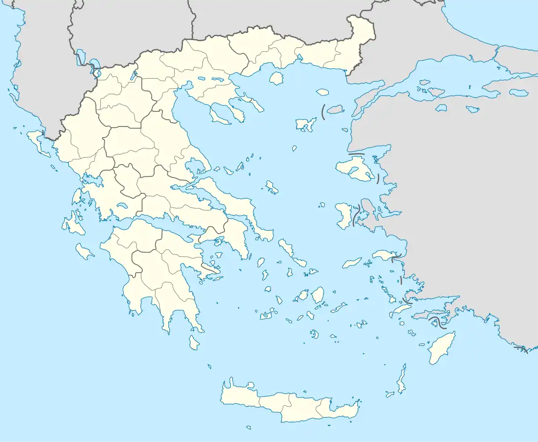
Kerkini (Greek: Κερκίνη) is a village and a former municipality in the Serres regional unit, Greece. Since the 2011 local government reform it is part of the municipality Sintiki, of which it is a municipal unit.[2] It is named after ancient Kerkinitis lake (see map of Macedon). The municipal unit has an area of 353.634 km2.[3] Population of the municipal unit 6,695 (2011). The seat was in Rodopoli.
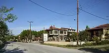
Hotel Oikoperiigitis in Kerkini

Lake Kerkini by Vlahos Vaggelis

Lake Kerkini by Vlahos Vaggelis

Small boat on Kerkini Lake.
Kerkini
Κερκίνη | |
|---|---|
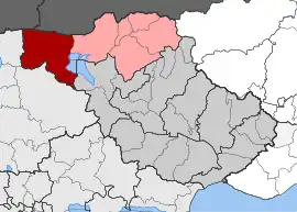 Kerkini boundary in dark red, the neighbouring municipal units of Sintiki in pink, the remainder of Serres in dark grey, to the south | |
 Kerkini | |
| Coordinates: 41°13′N 23°05′E | |
| Country | Greece |
| Administrative region | Central Macedonia |
| Regional unit | Serres |
| Municipality | Sintiki |
| • Municipal unit | 353.6 km2 (136.5 sq mi) |
| Population (2011)[1] | |
| • Municipal unit | 6,695 |
| • Municipal unit density | 19/km2 (49/sq mi) |
| Community | |
| • Population | 1,371 (2011) |
| Time zone | UTC+2 (EET) |
| • Summer (DST) | UTC+3 (EEST) |
| Vehicle registration | ΕΡ |
| Website | https://www.sintiki.gov.gr/ |
References
- "Απογραφή Πληθυσμού - Κατοικιών 2011. ΜΟΝΙΜΟΣ Πληθυσμός" (in Greek). Hellenic Statistical Authority.
- "ΦΕΚ B 1292/2010, Kallikratis reform municipalities" (in Greek). Government Gazette.
- "Population & housing census 2001 (incl. area and average elevation)" (PDF) (in Greek). National Statistical Service of Greece. Archived from the original (PDF) on 2015-09-21.
This article is issued from Wikipedia. The text is licensed under Creative Commons - Attribution - Sharealike. Additional terms may apply for the media files.