Kamarang Airport
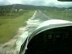
Kamarang Airport (IATA: KAR, ICAO: SYKM) is an airport serving the town of Kamarang, in the Cuyuni-Mazaruni Region of Guyana.
Kamarang Airport | |||||||||||
|---|---|---|---|---|---|---|---|---|---|---|---|
 | |||||||||||
| Summary | |||||||||||
| Serves | Kamarang | ||||||||||
| Elevation AMSL | 1,601 ft / 488 m | ||||||||||
| Coordinates | 5°51′55″N 60°36′50″W | ||||||||||
| Map | |||||||||||
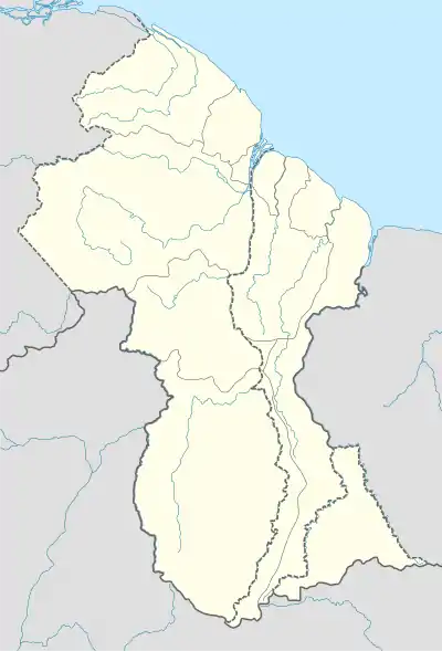 KAR Location in Guyana | |||||||||||
| Runways | |||||||||||
| |||||||||||
The Kamarang non-directional beacon (Ident: KAM) is 2 kilometres (1.2 mi) north of the field.
The runway has been paved, the paved runway (asphalt) is 1220 metres long (4000') by 18 metres wide (60').
References
- Google Maps - Kamarang
- Airport information for KAR at Great Circle Mapper.
External links
Wikimedia Commons has media related to Kamarang Airport.
This article is issued from Wikipedia. The text is licensed under Creative Commons - Attribution - Sharealike. Additional terms may apply for the media files.