Kalale
Kalale is a village in the southern state of Karnataka, India.[1][2] It is located in the Nanjangud taluk of Mysore district.
Kalale | |
|---|---|
village | |
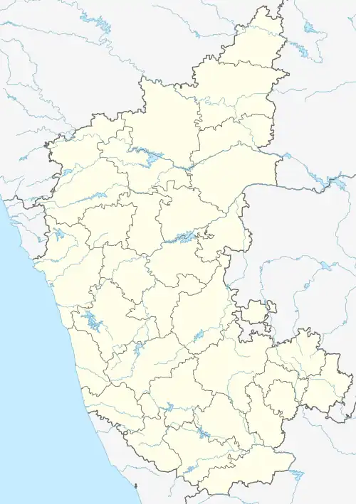 Kalale Location in Karnataka, India 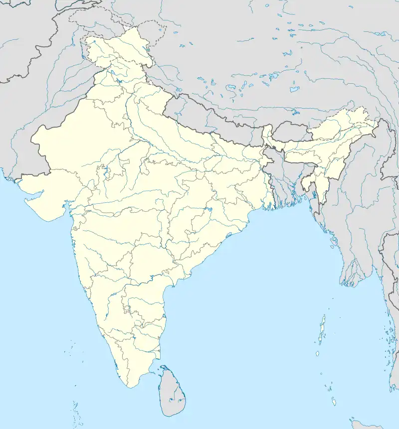 Kalale Kalale (India) | |
| Coordinates: 12°05′0″N 76°40′0″E | |
| Country | India |
| State | Karnataka |
| District | Mysore |
| Talukas | Nanjangud |
| Government | |
| • Body | Gram panchayat |
| Population (2001) | |
| • Total | 7,278 |
| Languages | |
| • Official | Kannada |
| Time zone | UTC+5:30 (IST) |
| ISO 3166 code | IN-KA |
| Vehicle registration | KA |
| Website | karnataka |
Demographics
As of 2001 India census, Kalale had a population of 7278, with 3636 males and 3642 females.[1]
Historical importance
Kalale Dalavais occupied prominent position in both Vijayanagar Empire and the kings of Yadhuvamsha of Mysore. There are documentary evidences to show that Kalale enjoyed some prominence due to its proximity to kings until about 1831. Mysore kings appear to have devoted much attention for improvement of Lakshmikanthaswamy temple. The Mysore king's insignias like Shanka (Conch), Chakra (wheel) and Mathsya (fish) are available in the temple.
The present Lakshmikanthaswamy temple appears to have been built in 3 stages in 1300AD, 1350AD and 1500AD and built in Dravidian style over a wide plot of 100 × 200 ft. The five-storied main Gopuram of the temple is of 50 ft height with 5 Kalashas. This temple is considered as an ancient protected monument by Archaeological Department of Government of Karnataka.
See also
References
- Village code 2870900."Census of India: Villages with population 5000 & above". Registrar General & Census Commissioner, India. Archived from the original on 11 February 2008. Retrieved 18 December 2008.
- "Yahoomaps India :". Archived from the original on 18 December 2008. Retrieved 18 December 2008. Kalale, Mysore, Karnataka
External links
- "Mysuru District Information". mysore.nic.in. Retrieved 1 May 2016.