Yachenahalli
Yachenahalli (Kannada: ಯಾಚೇನಹಳ್ಳಿ) is a panchayat town in Mysore district in the state of Karnataka, India. It is located 35 km from Mysore and 17 km from Mandya. The nearest city is Bannur with 10 km distance.
Yachenahalli
ಯಾಚೇನಹಳ್ಳಿ | |
|---|---|
Village(Grama Panchayathi) | |
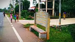
 Name board of Yachenahalli | |
 Yachenahalli
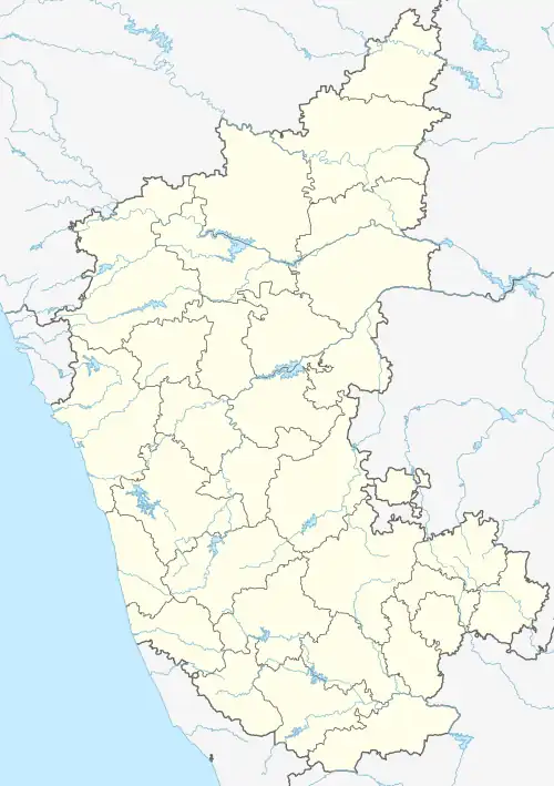
ಯಾಚೇನಹಳ್ಳಿ Location in Karnataka, India | |
| Coordinates: 12.400781°N 76.898536°E | |
| Country | |
| State | Karnataka |
| District | Mysore |
| Government | |
| • Type | Panchayati raj (India) |
| • Body | Gram panchayat |
| Elevation | 654 m (2,146 ft) |
| Population (2011) | |
| • Total | 3,168 |
| Languages | |
| • Official | Kannada, English |
| Time zone | UTC+5:30 (IST) |
| PIN | 571101 |
| ISO 3166 code | IN-KA |
| Vehicle registration | KA-55 |
| Website | karnataka |
Geography
Yachenahalli is located at 12.400781°N 76.898536°E.[1] It has an average elevation of 654 metres (2145 feet).
Transport
By Road
Bannur, Tirumakudal - Narsipur, Malavalli, Kollegal, Mandya are the nearby by towns, having road connectivity to Yachenahalli which is located on Bannur - Mandya Main Road.
Demographics
2001 Census Details
As of 2001 India census,[2] Yachenahalli had a population of 3,190. Males constitute 51% of the population and females 49%. Yachenahalli has an average literacy rate of 59%, lower than the national average of 59.5%; with 54% of the males and 46% of females literate. 11% of the population is under 6 years of age.
2011 Census Details
Yachenahalli Local Language is Kannada. Yachenahalli Village Total population is 3168 and number of houses are 749. Female Population is 49.6%. Village literacy rate is 57.1% and the Female Literacy rate is 24.4%.
Population
| Census Parameter | Census Data |
| Total Population | 3168 |
| Total No of Houses | 749 |
| Female Population % | 49.6 % (1571) |
| Total Literacy rate % | 57.1 % (1809) |
| Female Literacy rate | 24.4 % (774) |
| Scheduled Tribes Population % | 0.0 % (0) |
| Scheduled Caste Population % | 17.7 % (560) |
| Working Population % | 43.2 % |
| Child(0 -6) Population by 2011 | 294 |
| Girl Child(0 -6) Population % by 2011 | 46.6 % (137) |
See also
- Bannur
- Mandya
- Aarakere
- Somanathapura
- T. Narasipura
- Talakadu
References
- Falling Rain Genomics, Inc - Yachenahalli
- "Census of India 2001: Data from the 2001 Census, including cities, villages and towns (Provisional)". Census Commission of India. Archived from the original on 16 June 2004. Retrieved 1 November 2008.