Jingkou District
Jingkou District is one of three built-up zones (district) of Zhenjiang, Jiangsu province, China. The district has an area of 115 km2 and a population of 410,000 people. The postal code for Jingkou is 212001 and the telephone code is 0511.
Jingkou
京口区 | |
|---|---|
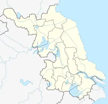
 Jingkou Location in Jiangsu | |
| Coordinates: 32°12′05″N 119°27′37″E[1] | |
| Country | People's Republic of China |
| Province | Jiangsu |
| Prefecture-level city | Zhenjiang |
| Area | |
| • Total | 343.69 km2 (132.70 sq mi) |
| Population (2010) | |
| • Total | 601,671 |
| • Density | 1,800/km2 (4,500/sq mi) |
| Time zone | UTC+8 (China Standard) |
| Postal code | 212001 |
| Jingkou District | |||||||
|---|---|---|---|---|---|---|---|
| Traditional Chinese | 京口區 | ||||||
| Simplified Chinese | 京口区 | ||||||
| Literal meaning | Capital Mouth District | ||||||
| |||||||
.jpeg.webp)
Sunrise in Jingkou
In recent years, it was split to form Zhenjiang New Area (镇江新区) which is divided to 2 subdistricts (Dagang Subdistrict (大港街道), Dingmao Subdistrict (丁卯街道)) and 3 towns (Dalu (大路镇), Yaoqiao (姚桥镇), Dinggang (丁岗镇)).
History
Jingkou was the site of the original meeting place between the Grand Canal and the Yangtze River. It was the site of an imperial army garrison under the Qing.[2]
Administrative divisions
Jingkou District has 8 subdistricts and 3 towns.[3]
- 8 subdistricts
|
|
- 3 towns
- Yaoqiao (姚桥镇)
- Dalu (大路镇)
- Dinggang (丁岗镇)
Transportation
Dagang South railway station is situated here.
References
- Google (2014-07-02). "Jingkou" (Map). Google Maps. Google. Retrieved 2014-07-02.
- Cassel, Pär (2003), "Excavating Extraterritoriality: The "Judicial Sub-Prefect" as a Prototype for the Mixed Court in Shanghai", Late Imperial China, vol. 24, pp. 156–182.
- "镇江市-行政区划网 www.xzqh.org" (in Chinese). XZQH. Retrieved 2012-05-24.
This article is issued from Wikipedia. The text is licensed under Creative Commons - Attribution - Sharealike. Additional terms may apply for the media files.