Fleming, Northern Territory
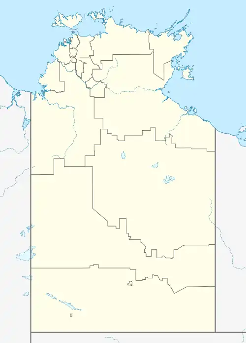
Fleming is a town and locality in the Northern Territory of Australia located about 162 kilometres (101 mi) south of the territory's capital of Darwin.[3][4][1]
| Fleming Northern Territory | |||||||||||||||
|---|---|---|---|---|---|---|---|---|---|---|---|---|---|---|---|
 Fleming | |||||||||||||||
| Coordinates | 13°51′02″S 131°17′48″E[1] | ||||||||||||||
| Population | No entry (2016 census)[lower-alpha 1] | ||||||||||||||
| Established | 20 March 1996 (town) 4 April 2007 (locality)[3][1] | ||||||||||||||
| Postcode(s) | 0822[4] | ||||||||||||||
| Time zone | ACST (UTC+9:30) | ||||||||||||||
| Location | 162 km (101 mi) S of Darwin | ||||||||||||||
| LGA(s) | Victoria Daly Region[1] | ||||||||||||||
| Territory electorate(s) | Daly[5] | ||||||||||||||
| Federal division(s) | Lingiari[6] | ||||||||||||||
| |||||||||||||||
| |||||||||||||||
| Footnotes | Locations[4] Adjoining localities[8][9] | ||||||||||||||
The locality is named after the town, which was named after the brothers, Jim and Mike Fleming, who are considered to be the first pastoralists in this part of the Northern Territory. Part of the town was established on land partly located in the former Oolloo Station pastoral lease established by Jim Fleming in 1907. The town was gazetted on 20 March 1996 and the locality was gazetted on 4 April 2007.[8][1][3]
For the 2016 Australian census which was conducted in August 2016, the population of the locality of Fleming (if any) was counted with that in the surrounding locality of Douglas-Daly to find that 238 people were living within the two localities.[2][lower-alpha 2]
Fleming is located within the federal division of Lingiari, the territory electoral division of Daly and the local government area of the Victoria Daly Shire.[6][5][9]
References
Notes
- For the 2016 census, any people living in the locality of Fleming were counted by the Australian Bureau of Statistics as part of the count for the locality of Douglas-Daly.[2]
- Refer footnote 1 above
Citations
- "Place Names Register Extract for Fleming (locality)". NT Place Names Register. Northern Territory Government. Retrieved 17 May 2019.
- Australian Bureau of Statistics (27 June 2017). "Douglas-Daly (State Suburb)". 2016 Census QuickStats. Retrieved 17 May 2019.
- "Place Names Register Extract for Town of Fleming". NT Place Names Register. Northern Territory Government. Retrieved 17 May 2019.
- "Fleming Postcode". postcode-finders.com.au. Retrieved 17 May 2019.
- "Division of Daly". Northern Territory Electoral Commission. Retrieved 17 May 2019.
- "Federal electoral division of Lingiari". Australian Electoral Commission. Retrieved 17 May 2019.
- "Monthly climate statistics: Summary statistics DOUGLAS RIVER RESEARCH FARM (nearest weather station)". Commonwealth of Australia , Bureau of Meteorology. Retrieved 18 May 2019.
- "Fleming". NT Atlas and Spatial Data Directory. Northern Territory Government. Retrieved 17 May 2019.
- "Localities within Un-Incorporated area (map)" (PDF). Northern Territory Government. 29 October 1997. Retrieved 17 May 2019.