Buchanan, Northern Territory
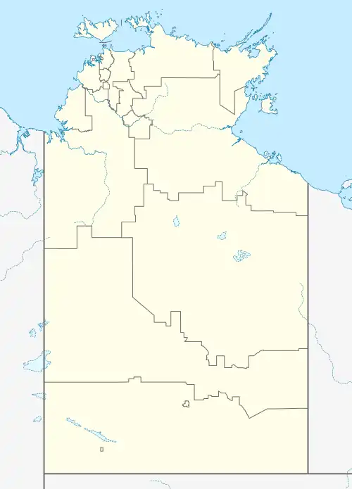
Buchanan (/bjuːkænən/ bew-KAN-ən) is a locality in the Northern Territory of Australia located in the territory's west adjoining the border with the state of Western Australia about 612 kilometres (380 mi) south of the territory capital of Darwin and about 473 kilometres (294 mi) south-west of the municipal seat in Katherine.[1][3][8]
| Buchanan Northern Territory | |||||||||||||||
|---|---|---|---|---|---|---|---|---|---|---|---|---|---|---|---|
 Buchanan | |||||||||||||||
| Coordinates | 17°42′20″S 129°42′54″E[1] | ||||||||||||||
| Population | 55 (2016 census)[2] | ||||||||||||||
| • Density | 0.002268/km2 (0.00587/sq mi) | ||||||||||||||
| Established | 4 April 2007[1] | ||||||||||||||
| Postcode(s) | 0852[3] | ||||||||||||||
| Elevation | 403 m (1,322 ft)(weather station) [4] | ||||||||||||||
| Area | 24,252 km2 (9,363.7 sq mi)[5] | ||||||||||||||
| Time zone | ACST (UTC+9:30) | ||||||||||||||
| Location | |||||||||||||||
| LGA(s) | Victoria Daly Region[1] | ||||||||||||||
| Territory electorate(s) | Gwoja[6] | ||||||||||||||
| Federal division(s) | Lingiari[7] | ||||||||||||||
| |||||||||||||||
| |||||||||||||||
| Footnotes | Locations[3][8] Adjoining localities[9] | ||||||||||||||
The locality consists of the following land (from north to south) – the Malngin and the Malngin 2 Aboriginal Land Trusts and the Limbunya pastoral lease, the Kirkimbie, Bunda, Inverway and Riveren pastoral leases, and the Wallamunga and Birrindudu pastoral leases. It has an area of 24,252 square kilometres (9,364 sq mi).[5][9][8][10]
The locality's boundaries and name were gazetted on 4 April 2007. Its name is derived from the Nathaniel Buchanan, a pioneering drover who first brought cattle overland from Queensland to the Northern Territory in 1877.[1]
The 2016 Australian census which was conducted in August 2016 reports that Buchanan had a population of 55 people.[2]
Buchanan is located within the federal division of Lingiari, the territory electoral division of Stuart and the local government area of the Victoria Daly Region.[7][6]][1]
References
- "Place Names Register Extract for Buchanan (locality)". NT Place Names Register. Northern Territory Government. Retrieved 2 March 2020.
- Australian Bureau of Statistics (27 June 2017). "Buchanan (State Suburb)". 2016 Census QuickStats. Retrieved 2 March 2020.
- "Buchanan Postcode". postcode-finders.com.au. Retrieved 2 March 2020.
- "Monthly climate statistics: Summary Inverway (nearest weather station)". Commonwealth of Australia , Bureau of Meteorology. Retrieved 2 March 2020.
- "Buchanan". Australias Guide Pty Ltd. Retrieved 2 March 2020.
- "Division of Namatjira". Northern Territory Electoral Commission. Archived from the original on 20 March 2020. Retrieved 2 March 2020.
- "Federal electoral division of Lingiari". Australian Electoral Commission. Retrieved 2 March 2020.
- "Northern Territory Pastoral Properties" (PDF). Northern Territory Government. 2003. Archived from the original (PDF) on 9 April 2015. Retrieved 25 January 2020.
- "Buchanan". NT Atlas and Spatial Data Directory. Northern Territory Government. Retrieved 2 March 2020.
- "Localities within Victoria River sub-region (CP 5096)". NT Place Names Register. Northern Territory Government. Retrieved 25 January 2020.