Dnieper-Donets Rift
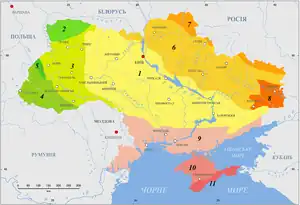
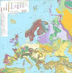
The Dnieper-Donets Rift or Pripyat-Dnieper-Donets Rift (also referred as a "paleorift" and "aulacogen") is an east-west running rift in the Sarmatian Craton that developed and was most active in the Paleozoic. The rift extends from the Caspian Depression in Russia to northern Ukraine passing by the Donbas region. The rift separates the Voronezh Massif in the north from the Ukrainian Shield in south.[1]

The Dniepr-Donets Paleorift was the site of Devonian magmatic activity that begun in Late Frasnian and peaked in the Famennian caused by a mantle plume. Extensional tectonics were also most active during the Famennian.[2]
There have been suggestions that the Dniepr-Donets Paleorift is related to the coeval Kola Alkaline Province.[3]
References
- Gorbatchev, R.; Bogdanova, S. (1993). "Frontiers in the Baltic Shield". Precambrian Research. 64 (1–4): 3–21. doi:10.1016/0301-9268(93)90066-B.
- Wilson, M.; Lyashkevich, Z.M. (1996). "Magmatism and the geodynamics of rifting of the Pripyat-Dnieper-Donets rift, East European Platform". Tectonophysics. 268 (1–4): 65–81. doi:10.1016/s0040-1951(96)00234-x.
- Downes, Hilary; Balaganskaya, Elena; Beard, Andrew; Liferovich, Ruslan; Demaiffe, Daniel (2005). "Petrogenetic processes in the ultramafic, alkaline and carbonatitic magmatism in the Kola Alkaline Province: a review" (PDF). Lithos. 85 (1–4): 48–75. doi:10.1016/j.lithos.2005.03.020.
This article is issued from Wikipedia. The text is licensed under Creative Commons - Attribution - Sharealike. Additional terms may apply for the media files.
