Dalerpeel
Dalerpeel is a village in the Netherlands and it is part of the Coevorden municipality in Drenthe.
Dalerpeel | |
|---|---|
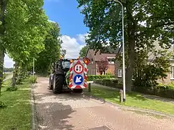 Tractor in Dalerpeel | |
 Dalerpeel  Dalerpeel | |
| Coordinates: 52°40′43″N 6°39′32″E | |
| Country | Netherlands |
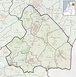
| Province | Drenthe |
| Municipality | Coevorden |
| Area | |
| • Total | 14.49 km2 (5.59 sq mi) |
| Elevation | 13 m (43 ft) |
| Population (2021)[1] | |
| • Total | 860 |
| • Density | 59/km2 (150/sq mi) |
| Time zone | UTC+1 (CET) |
| • Summer (DST) | UTC+2 (CEST) |
| Postal code | 7751 & 7753[1] |
| Dialing code | 0528 |
Dalerpeel was first mentioned in 1936, and means "the swamp of Dalen".[3] It was originally a peat colony and the workers came from North Brabant. The village shares resources with neighbouring Nieuwe Krim.[4]
References
- "Kerncijfers wijken en buurten 2021". Central Bureau of Statistics. Retrieved 12 March 2022.
two entries. Postcode 7753 is the village proper
- "Postcodetool for 7751AA". Actueel Hoogtebestand Nederland (in Dutch). Het Waterschapshuis. Retrieved 12 March 2022.
- "Dalerpeel - (geografische naam)". Etymologiebank (in Dutch). Retrieved 12 March 2022.
- "Dalerpeel". Plaatsengids (in Dutch). Retrieved 12 March 2022.
Wikimedia Commons has media related to Dalerpeel.
This article is issued from Wikipedia. The text is licensed under Creative Commons - Attribution - Sharealike. Additional terms may apply for the media files.