Bukkuyum
Bukkuyum (or Bukwium) is a Local Government Area in Zamfara State, Nigeria. Its headquarters is in the town of Bukkuyum. In March 2017 more than 300 children died of Lead poisoning from illegal mining site at yar Galma village at12°08′00″N 5°28′00″E in the north-west of the area.
Bukkuyum
Bukkuyawa | |
|---|---|
LGA and town | |
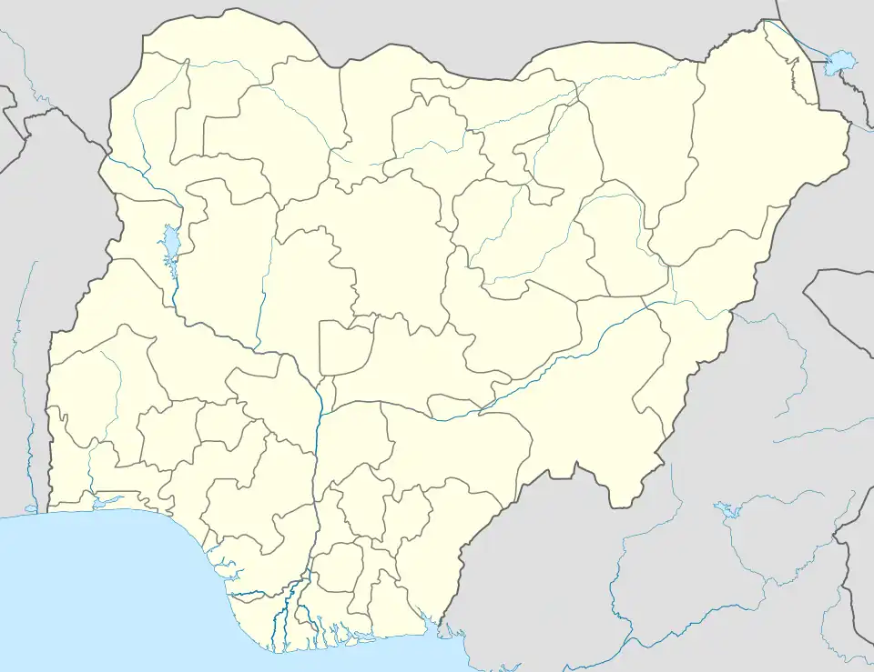 Bukkuyum Location in Nigeria | |
| Coordinates: 12°00′N 5°37′E | |
| Country | |
| State | Zamfara State |
| Government | |
| • Emir | Muhammad Usman |
| Area | |
| • Total | 3,214 km2 (1,241 sq mi) |
| Population (2006 census) | |
| • Total | 211,633 |
| Time zone | UTC+1 (WAT) |
| 3-digit postal code prefix | 891 |
| ISO 3166 code | NG.ZA.BY |
It has an area of 3,214 km2 and a population of 211,633 at the 2006 census.
The postal code of the area is 891.[1]
Climate
The environment has a hot, oppressive rainy season with predominantly cloudy skies and a blistering, partly cloudy dry season with temperatures ranging from 61°F to 103°F.[2][3][4]
Temperature
The temperature trend in Bukkuyum is rising, with warmer years denoting a more hospitable climate and colder years denoting a less hospitable climate.[5]
References
- "Post Offices- with map of LGA". NIPOST. Archived from the original on 2009-10-07. Retrieved 2009-10-20.
- "Bukkuyum Climate, Weather By Month, Average Temperature (Nigeria) - Weather Spark". weatherspark.com. Retrieved 2023-09-01.
- "Bukkuyum, Zamfara, NG Climate Zone, Monthly Averages, Historical Weather Data". tcktcktck.org. Retrieved 2023-09-01.
- "Bukkuyum, Zamfara, Nigeria - City, Town and Village of the world". en.db-city.com. Retrieved 2023-09-01.
- "Climate Change Bukkuyum". meteoblue. Retrieved 2023-10-19.
State capital: Gusau | ||
| Local Government Areas | 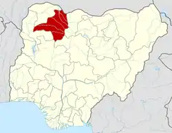 | |
This article is issued from Wikipedia. The text is licensed under Creative Commons - Attribution - Sharealike. Additional terms may apply for the media files.