Bandar Khamir
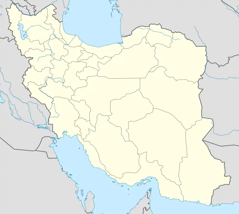
Bandar Khamir (Persian: بندر خمير, also Romanized as Bandar Khamīr, Bandar-e Khamīr; also, simply Khamīr or Xamir)[3] is a port city on the shores of the Persian Gulf in the Central District of Khamir County, Hormozgan province, Iran, serving as both capital of the district and of the county.
Bandar Khamir
Persian: بندر خمير | |
|---|---|
City | |
 Bandar Khamir | |
| Coordinates: 26°57′04″N 55°35′12″E[1] | |
| Country | |
| Province | Hormozgan |
| County | Khamir |
| District | Central |
| Population (2016)[2] | |
| • Total | 15,320 |
| Time zone | UTC+3:30 (IRST) |
| Website | en |
At the 2006 National Census, its population was 11,307 in 2,441 households.[4] The following census in 2011 counted 14,617 people in 3,453 households.[5] The latest census in 2016 showed a population of 15,320 people in 4,161 households.[2]
Background
This historic port is the largest city near Khoorkhooran wetland, the largest in the Middle East and with the widest mangrove forests in Iran. Bandar Khamir has the longest wetland shore in Iran, which due to years of environmental activities and high participation of people in the preservation and development of this wetland, the city was introduced as the first national wetland city in Iran and became World Wetland City in 2022.
This city was selected as a UNESCO Learning City in 2021 due to its extensive activities and education to different segments of the population. This city is now recognized in Iran and the world as one of the models of sustainable development based on people's participation.
In addition to mangrove forests and wetlands, this city has unique natural attractions such as hot springs, domes, salt ponds and landmarks such as the historic castle and Latidan bridge which is the longest historical bridge in Iran.
The rich culture of people is crystallized through coexistence with wetlands, sea and historical and maritime connections with other countries of the world from India to Africa and Arab countries in various cases such as history, music, clothes, food, language, architecture and many more, these features attract tourists so much that it is unlikely that after visiting this city and meeting these people, they were not impressed by their hospitality, culture and humanity.
Bandar Khamir includes five villages named Upper Lashtaghān, Lower Lashtaghān, Kandāl, Baghi Abād, and Chah Sahāri.
References
- OpenStreetMap contributors (9 September 2023). "Bandar Khamir, Khamir County" (Map). OpenStreetMap. Retrieved 9 September 2023.
- "Census of the Islamic Republic of Iran, 1395 (2016)". AMAR (in Persian). The Statistical Center of Iran. p. 22. Archived from the original (Excel) on 5 May 2022. Retrieved 19 December 2022.
- Bandar Khamir can be found at GEOnet Names Server, at this link, by opening the Advanced Search box, entering "-3070495" in the "Unique Feature Id" form, and clicking on "Search Database".
- "Census of the Islamic Republic of Iran, 1385 (2006)". AMAR (in Persian). The Statistical Center of Iran. p. 22. Archived from the original (Excel) on 20 September 2011. Retrieved 25 September 2022.
- "Census of the Islamic Republic of Iran, 1390 (2011)" (Excel). Iran Data Portal (in Persian). The Statistical Center of Iran. p. 22. Retrieved 19 December 2022.
