Bagnaria Arsa
Bagnaria Arsa (Friulian: Bagnarie) is a comune (municipality) in the Regional decentralization entity of Udine in the Italian region of Friuli-Venezia Giulia, located about 50 kilometres (31 mi) northwest of Trieste and about 20 kilometres (12 mi) south of Udine.
Bagnaria Arsa
| |
|---|---|
| Comune di Bagnaria Arsa | |
Location of Bagnaria Arsa | |
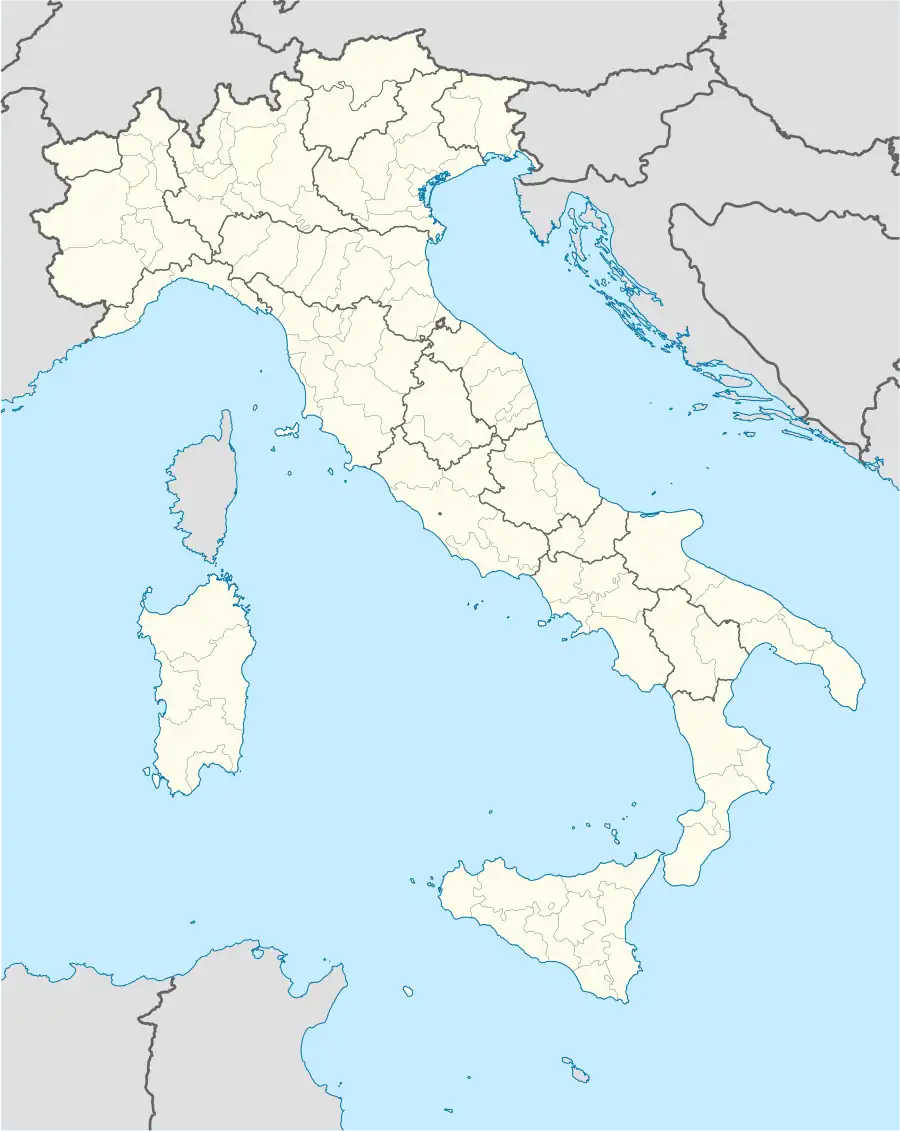 Bagnaria Arsa Location of Bagnaria Arsa in Italy 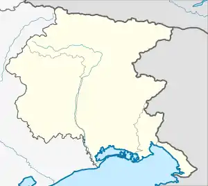 Bagnaria Arsa Bagnaria Arsa (Friuli-Venezia Giulia) | |
| Coordinates: 45°53′N 13°17′E | |
| Country | Italy |
| Region | Friuli-Venezia Giulia |
| Province | Udine (UD) |
| Frazioni | Campolonghetto, Castions delle Mura, Privano, Sevegliano |
| Government | |
| • Mayor | Cristiano Tiussi |
| Area | |
| • Total | 19.23 km2 (7.42 sq mi) |
| Highest elevation | 22 m (72 ft) |
| Lowest elevation | 3 m (10 ft) |
| Population (28 February 2017)[2] | |
| • Total | 3,507 |
| • Density | 180/km2 (470/sq mi) |
| Demonym | Bagnaresi |
| Time zone | UTC+1 (CET) |
| • Summer (DST) | UTC+2 (CEST) |
| Postal code | 33050 |
| Dialing code | 0432 |
| Website | Official website |
The municipality of Bagnaria Arsa is formed by the frazioni (boroughs) Campolonghetto, Castions delle Mura, Privano, and Sevegliano, which houses the municipal seat.
Bagnaria Arsa borders the following municipalities: Aiello del Friuli, Cervignano del Friuli, Gonars, Palmanova, Torviscosa, Visco.
References
- "Superficie di Comuni Province e Regioni italiane al 9 ottobre 2011". Italian National Institute of Statistics. Retrieved 16 March 2019.
- All demographics and other statistics: Italian statistical institute Istat.
External links

This article is issued from Wikipedia. The text is licensed under Creative Commons - Attribution - Sharealike. Additional terms may apply for the media files.